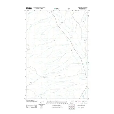
2011 Map of Dunn Creek
USGS Topo · Published 2011About this map
The Boulder River drainage in Jefferson County defines this landscape, where early 21st-century ranching and irrigation systems are clearly documented. The map highlights the agricultural infrastructure of the region, including the Murphy Quaintance Ditch and Carey Ditch, which divert water to support the Quaintance Ranch. These water-rights markers are essential for understanding the land-use patterns of this part of Montana, showing how water is managed across the valleys and gulches.
Find a feature on this map
26 named features on this map. Tap any name to fly to it.
Don’t see what you’re looking for? This feature index may not catch every label — zoom into the map to look around manually.
Map Details
Editions of this 2011 Dunn Creek Map
This is the sole edition of this map. No revisions or reprints were ever made.
Other maps of this area

1886 · Fort Logan
USGS Topo · 1:250,000

1888 · Three Forks
USGS Topo · 1:250,000

1889 · Helena
USGS Topo · 1:250,000

1893 · Helena
USGS Topo · 1:250,000

1893 · Dillon
USGS Topo · 1:250,000

1894 · Three Forks
USGS Topo · 1:250,000

1895 · Three Forks
USGS Topo · 1:250,000

1899 · Boulder
USGS Topo · 1:125,000

1899 · Helena
USGS Topo · 1:250,000

1903 · Helena
USGS Topo · 1:250,000