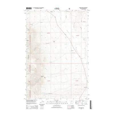
2014 Map of Dunn Creek
USGS Topo · Published 2014About this map
Boulder Valley and its surrounding ranch lands occupy this Jefferson County landscape, where the Boulder River cuts through the high country. The map illustrates a developed irrigation network essential to local agriculture, featuring the Murphy Quaintance Ditch and Carey Ditch. To the west, the boundary of the Deerlodge National Forest encompasses steep terrain including Bull Mtn and the prominent Wilson Ridge. Local family history is centered at the Boulder Valley Cem in the northern reaches, while recreation and conservation are noted at Quaintance Park and Long Park. The drainage patterns are well-defined by features like Dunn Canyon and North Dunn Canyon, showing how the seasonal waters of Dunn Cr and Dry Cottonwood Cr have shaped the valley's geography.
Find a feature on this map
42 named features on this map. Tap any name to fly to it.
Don’t see what you’re looking for? This feature index may not catch every label — zoom into the map to look around manually.
Map Details
Editions of this 2014 Dunn Creek Map
This is the sole edition of this map. No revisions or reprints were ever made.
Other maps of this area

1886 · Fort Logan
USGS Topo · 1:250,000

1888 · Three Forks
USGS Topo · 1:250,000

1889 · Helena
USGS Topo · 1:250,000

1893 · Helena
USGS Topo · 1:250,000

1893 · Dillon
USGS Topo · 1:250,000

1894 · Three Forks
USGS Topo · 1:250,000

1895 · Three Forks
USGS Topo · 1:250,000

1899 · Boulder
USGS Topo · 1:125,000

1899 · Helena
USGS Topo · 1:250,000

1903 · Helena
USGS Topo · 1:250,000