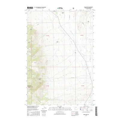
2017 Map of Dunn Creek
USGS Topo · Published 2017About this map
The Boulder River drainage dominates this section of Jefferson County, where the high-elevation terrain of Bull Mtn descends into the agricultural corridor of Boulder Valley. Water management is central to the landscape's character, evidenced by the Murphy Quaintance Ditch and Carey Ditch which parallel the river to support local ranching. The map reveals a legacy of family settlement through features like Quaintance Park and McKenna Spring, while the Boulder Valley Cem serves as a local landmark for genealogical research.
Find a feature on this map
34 named features on this map. Tap any name to fly to it.
Don’t see what you’re looking for? This feature index may not catch every label — zoom into the map to look around manually.
Map Details
Editions of this 2017 Dunn Creek Map
This is the sole edition of this map. No revisions or reprints were ever made.
Other maps of this area

1886 · Fort Logan
USGS Topo · 1:250,000

1888 · Three Forks
USGS Topo · 1:250,000

1889 · Helena
USGS Topo · 1:250,000

1893 · Helena
USGS Topo · 1:250,000

1893 · Dillon
USGS Topo · 1:250,000

1894 · Three Forks
USGS Topo · 1:250,000

1895 · Three Forks
USGS Topo · 1:250,000

1899 · Boulder
USGS Topo · 1:125,000

1899 · Helena
USGS Topo · 1:250,000

1903 · Helena
USGS Topo · 1:250,000