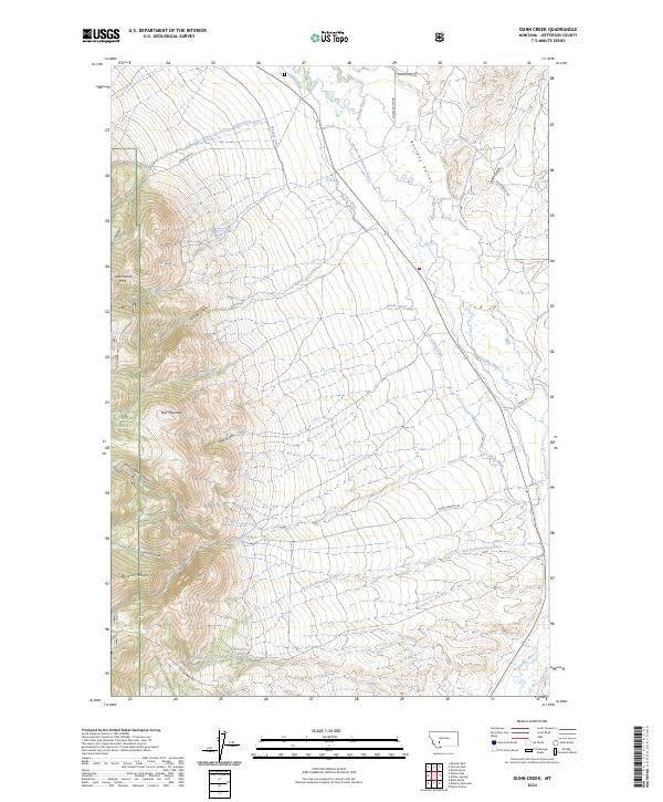
2024 Map of Dunn Creek
USGS Topo · Published 2024About this map
Boulder Valley serves as the focal point of this Jefferson County landscape, where the meandering course of the Boulder River is flanked by an extensive network of historic irrigation infrastructure. This system, including the Murphy-Quaintance Ditch, Carey Ditch, and Murphy Ditch, reflects the vital water management required for ranching and agriculture in this part of Montana. To the west, the terrain rises sharply into the Deerlodge National Forest, dominated by the high peak of Bull Mountain and the prominent Wilson Ridge. These highlands are carved by numerous drainages such as Dunn Canyon and Jack Gulch. The map also captures several family-named landmarks and water sources like Quaintance Spring and McKenna Spring, providing a detailed look at the rural land use and topography of the region as documented in the early 21st century.
Find a feature on this map
32 named features on this map. Tap any name to fly to it.
Don’t see what you’re looking for? This feature index may not catch every label — zoom into the map to look around manually.
Map Details
Editions of this 2024 Dunn Creek Map
This is the sole edition of this map. No revisions or reprints were ever made.
Other maps of this area

1886 · Fort Logan
USGS Topo · 1:250,000

1888 · Three Forks
USGS Topo · 1:250,000

1889 · Helena
USGS Topo · 1:250,000

1893 · Helena
USGS Topo · 1:250,000

1893 · Dillon
USGS Topo · 1:250,000

1894 · Three Forks
USGS Topo · 1:250,000

1895 · Three Forks
USGS Topo · 1:250,000

1899 · Boulder
USGS Topo · 1:125,000

1899 · Helena
USGS Topo · 1:250,000

1903 · Helena
USGS Topo · 1:250,000