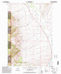
1996 Map of Dunn Creek
USGS Topo · Published 1998About this map
Bull Mountain dominates the western landscape of this Jefferson County quadrangle, where the steep, timbered slopes of the Deerlodge National Forest give way to the broad Boulder Valley. This transition zone is defined by a sophisticated 1990s irrigation network designed to manage the snowmelt from the high country. Man-made watercourses like the Murphy Ditch and Carey Ditch skirt the base of the mountains, tracing the contours to deliver water from the Boulder River and its tributaries to the valley floor.
Find a feature on this map
65 named features on this map. Tap any name to fly to it.
Don’t see what you’re looking for? This feature index may not catch every label — zoom into the map to look around manually.
Map Details
Editions of this 1996 Dunn Creek Map
This is the sole edition of this map. No revisions or reprints were ever made.
Other maps of this area

1886 · Fort Logan
USGS Topo · 1:250,000

1888 · Three Forks
USGS Topo · 1:250,000

1889 · Helena
USGS Topo · 1:250,000

1893 · Helena
USGS Topo · 1:250,000

1893 · Dillon
USGS Topo · 1:250,000

1894 · Three Forks
USGS Topo · 1:250,000

1895 · Three Forks
USGS Topo · 1:250,000

1899 · Boulder
USGS Topo · 1:125,000

1899 · Helena
USGS Topo · 1:250,000

1903 · Helena
USGS Topo · 1:250,000