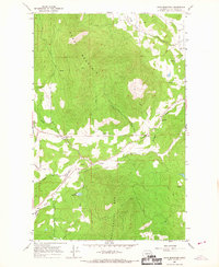
1965 Map of Dunn Mountain
USGS Topo · Published 1967About this map
Dunn Mountain dominates this portion of Stevens County, with its peak reaching an elevation of 5340 feet. In the mid-1960s, the surrounding landscape was defined by its scattered mountain schools and isolated rural infrastructure. The eastern edge of the map transitions into the Colville Valley, while the central terrain is carved by the drainages of Stensgar Creek and Cassner Creek. This era of development is marked by a network of unimproved roads and jeep trails that connected local landmarks like the Miller Reservoir and the Summit Valley Cem. The map reveals a specific social geography of the time, where education was decentralized across several small facilities including the West Side Sch, Sunnyvale Sch, and Summit Valley Sch. These features, along with names like Habura Road and Smith Road, offer a detailed look at the family-named landmarks and essential community sites of this Washington highland.
Find a feature on this map
22 named features on this map. Tap any name to fly to it.
Don’t see what you’re looking for? This feature index may not catch every label — zoom into the map to look around manually.
Map Details
Editions of this 1965 Dunn Mountain Map
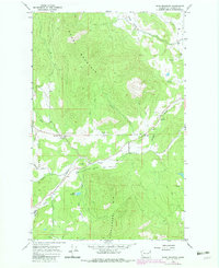
2 editions found
Other maps of this area

1927 · Chewelah
USGS Topo · 1:125,000

1930 · Chewelah
USGS Topo · 1:125,000

1948 · Hunters
USGS Topo · 1:62,500

1950 · Hunters
USGS Topo · 1:62,500

1950 · Inchelium
USGS Topo · 1:62,500

1954 · Okanogan
USGS Topo · 1:250,000

1958 · Okanogan
USGS Topo · 1:250,000

1958 · Sandpoint
USGS Topo · 1:250,000

1963 · Sandpoint
USGS Topo · 1:250,000

1965 · Waitts Lake
USGS Topo · 1:24,000