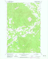
1965 Map of Dunn Mountain
USGS Topo · Published 1983About this map
Dunn Mountain and the high ridges of Huckleberry Mtn dominate this Stevens County landscape, recorded during a 1965 survey with 1977 revisions. The map highlights a rural infrastructure centered on the deep valleys, where Summit Valley and Dunn Valley provide level ground for early settlements and agriculture. The presence of the Summit Valley Sch and the nearby Summit Valley Cem suggests a community hub at the junction of Lawrence Road and Stensgar Creek. To the northeast, the Colville Valley floor appears as a distinct corridor of activity near Sunnyside Sch. The map also traces various ways through the high country, including the Cassner Creek drainage and numerous routes labeled as Trail or Jeep Trail, illustrating how residents accessed the timbered uplands and landmarks like Smith Meadows.
Find a feature on this map
27 named features on this map. Tap any name to fly to it.
Don’t see what you’re looking for? This feature index may not catch every label — zoom into the map to look around manually.
Map Details
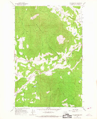
Editions of this 1965 Dunn Mountain Map
2 editions found
Other maps of this area

1927 · Chewelah
USGS Topo · 1:125,000

1930 · Chewelah
USGS Topo · 1:125,000

1948 · Hunters
USGS Topo · 1:62,500

1950 · Hunters
USGS Topo · 1:62,500

1950 · Inchelium
USGS Topo · 1:62,500

1954 · Okanogan
USGS Topo · 1:250,000

1958 · Okanogan
USGS Topo · 1:250,000

1958 · Sandpoint
USGS Topo · 1:250,000

1963 · Sandpoint
USGS Topo · 1:250,000

1965 · Waitts Lake
USGS Topo · 1:24,000