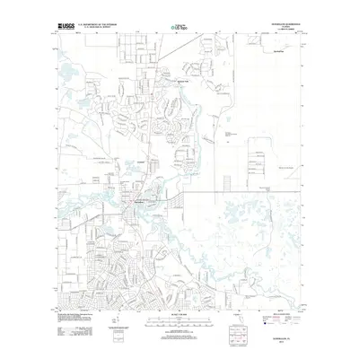
2012 Map of Dunnellon
USGS Topo · Published 2012About this map
The confluence of the Rainbow River and Withlacoochee River anchors this 2012 study of the Marion County landscape. The settlement of Dunnellon occupies the heart of the region, where the street grid transitions into the sprawling rural residential developments of Rainbow Falls and Chatmire to the north. These residential clusters are defined by a complex network of loops and circles, such as SW 77th Loop and SW 93rd Loop, reflecting modern Florida land planning.
Find a feature on this map
238 named features on this map. Tap any name to fly to it.
Don’t see what you’re looking for? This feature index may not catch every label — zoom into the map to look around manually.
Map Details
Editions of this 2012 Dunnellon Map
This is the sole edition of this map. No revisions or reprints were ever made.
Other maps of this area

1892 · Dunnellon
USGS Topo · 1:62,500

1894 · Dunnellon
USGS Topo · 1:62,500

1895 · Tsala Apopka
USGS Topo · 1:62,500

1954 · Holder
USGS Topo · 1:24,000

1954 · Crystal River
USGS Topo · 1:24,000

1954 · Romeo
USGS Topo · 1:24,000

1954 · Tsala Apopka NE
USGS Topo · 1:24,000

1954 · Dunnellon
USGS Topo · 1:24,000

1954 · Cotton Plant
USGS Topo · 1:24,000

1954 · Dunnellon SE
USGS Topo · 1:24,000