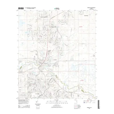
2015 Map of Dunnellon
USGS Topo · Published 2015About this map
The Withlacoochee River and Rainbow River converge near the city of Dunnellon, serving as a natural boundary between Marion and Citrus Counties. This 2015 survey illustrates a landscape of established residential centers and significant hydrological features, including Rainbow Springs and the expansive waters of Lake Rousseau to the west. The development patterns of Citrus Springs and Rainbow Lakes Estates dominate the surrounding terrain, showing the structured grid of modern Floridian suburban expansion alongside older landmarks like Rockwell Cem and the Dunnellon Community Cem.
Find a feature on this map
32 named features on this map. Tap any name to fly to it.
Don’t see what you’re looking for? This feature index may not catch every label — zoom into the map to look around manually.
Map Details
Editions of this 2015 Dunnellon Map
This is the sole edition of this map. No revisions or reprints were ever made.
Other maps of this area

1892 · Dunnellon
USGS Topo · 1:62,500

1894 · Dunnellon
USGS Topo · 1:62,500

1895 · Tsala Apopka
USGS Topo · 1:62,500

1954 · Holder
USGS Topo · 1:24,000

1954 · Crystal River
USGS Topo · 1:24,000

1954 · Romeo
USGS Topo · 1:24,000

1954 · Tsala Apopka NE
USGS Topo · 1:24,000

1954 · Dunnellon
USGS Topo · 1:24,000

1954 · Cotton Plant
USGS Topo · 1:24,000

1954 · Dunnellon SE
USGS Topo · 1:24,000