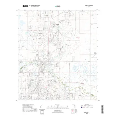
2018 Map of Dunnellon
USGS Topo · Published 2018About this map
The Withlacoochee River and Rainbow River converge at the heart of this Marion County study, defining the local geography as they flow toward Lake Rousseau. The landscape is a complex of springs and depressions, most notably at Rainbow Springs and the nearby community of Rainbow Falls. The southern portion of the quadrangle is bisected by the Florida National Scenic Trail, which winds through the terrain alongside residential developments in Dunnellon and Chatmire.
Find a feature on this map
264 named features on this map. Tap any name to fly to it.
Don’t see what you’re looking for? This feature index may not catch every label — zoom into the map to look around manually.
Map Details
Editions of this 2018 Dunnellon Map
This is the sole edition of this map. No revisions or reprints were ever made.
Other maps of this area

1892 · Dunnellon
USGS Topo · 1:62,500

1894 · Dunnellon
USGS Topo · 1:62,500

1895 · Tsala Apopka
USGS Topo · 1:62,500

1954 · Holder
USGS Topo · 1:24,000

1954 · Crystal River
USGS Topo · 1:24,000

1954 · Romeo
USGS Topo · 1:24,000

1954 · Tsala Apopka NE
USGS Topo · 1:24,000

1954 · Dunnellon
USGS Topo · 1:24,000

1954 · Cotton Plant
USGS Topo · 1:24,000

1954 · Dunnellon SE
USGS Topo · 1:24,000