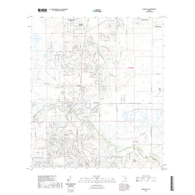
2021 Map of Dunnellon
USGS Topo · Published 2021About this map
The Withlacoochee River and Rainbow River converge near the heart of Dunnellon, a region characterized by its crystalline spring-fed waters and dense network of residential and rural development. This survey illustrates the intricate street layouts of Rainbow Lakes Estates to the northwest and the established neighborhoods of Chatmire and Rocksprings. The presence of the Rainbow Springs State Park highlights the area's long-standing connection to its natural hydrology, including the eponymous Rainbow Springs and nearby Rock Spring.
Find a feature on this map
265 named features on this map. Tap any name to fly to it.
Don’t see what you’re looking for? This feature index may not catch every label — zoom into the map to look around manually.
Map Details
Editions of this 2021 Dunnellon Map
This is the sole edition of this map. No revisions or reprints were ever made.
Other maps of this area

1892 · Dunnellon
USGS Topo · 1:62,500

1894 · Dunnellon
USGS Topo · 1:62,500

1895 · Tsala Apopka
USGS Topo · 1:62,500

1954 · Holder
USGS Topo · 1:24,000

1954 · Crystal River
USGS Topo · 1:24,000

1954 · Romeo
USGS Topo · 1:24,000

1954 · Tsala Apopka NE
USGS Topo · 1:24,000

1954 · Dunnellon
USGS Topo · 1:24,000

1954 · Cotton Plant
USGS Topo · 1:24,000

1954 · Dunnellon SE
USGS Topo · 1:24,000