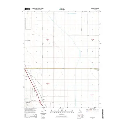
2015 Map of Dunnigan
USGS Topo · Published 2015About this map
Dunnigan sits at the base of the Dunnigan Hills in the northern Sacramento Valley, serving as a focal point for the agricultural and transportation networks of western Yolo and Colusa counties. This mid-2010s survey illustrates a landscape dominated by complex water management, where the Colusa Basin Drainage Canal and the Tehama-Colusa Canal navigate the flat basin floor alongside the Wilkins Slough Main Irrigation Canal. The grid of rural roads, such as Johns School Rd and Poundstone Rd, connects remote agricultural holdings and historical sites like the Johns Cemetery. The geography reveals the transition from the rising slopes of Howells Point Ridge to the irrigation-heavy bottomlands, where Clarks Ditch and the Main Drain channel water through large-scale farm plots near the settlement of Hershey.
Find a feature on this map
41 named features on this map. Tap any name to fly to it.
Don’t see what you’re looking for? This feature index may not catch every label — zoom into the map to look around manually.
Map Details
Editions of this 2015 Dunnigan Map
This is the sole edition of this map. No revisions or reprints were ever made.
Other maps of this area

1888 · Marysville
USGS Topo · 1:125,000

1891 · Marysville
USGS Topo · 1:125,000

1894 · Marysville
USGS Topo · 1:125,000

1895 · Marysville
USGS Topo · 1:125,000

1905 · Harrington
USGS Topo · 1:24,000

1907 · Dunnigan
USGS Topo · 1:62,500

1907 · Colusa
USGS Topo · 1:62,500

1911 · Grimes
USGS Topo · 1:31,680
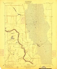
1912 · Tisdale Weir
USGS Topo · 1:31,680

1915 · Ronda
USGS Topo · 1:31,680