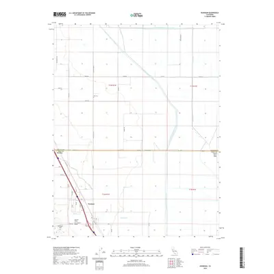
2018 Map of Dunnigan
USGS Topo · Published 2018About this map
Dunnigan serves as the central hub for this agricultural landscape, situated along the corridor between the Dunnigan Hills and the extensive water management network of the Sacramento Valley. This survey captures a highly engineered environment where natural watercourses like Buckeye Cr and Dunnigan Cr are integrated into a system of man-made infrastructure, including the Colusa Basin Drainage Canal and the Wilkins Slough Main Irrigation Canal. The grid of rural roads, such as Yolo Co Line RD and White RD, follows the Township and Range lines of the Public Land Survey System, defining the boundaries of large-scale farming operations.
Find a feature on this map
46 named features on this map. Tap any name to fly to it.
Don’t see what you’re looking for? This feature index may not catch every label — zoom into the map to look around manually.
Map Details
Editions of this 2018 Dunnigan Map
This is the sole edition of this map. No revisions or reprints were ever made.
Other maps of this area

1888 · Marysville
USGS Topo · 1:125,000

1891 · Marysville
USGS Topo · 1:125,000

1894 · Marysville
USGS Topo · 1:125,000

1895 · Marysville
USGS Topo · 1:125,000

1905 · Harrington
USGS Topo · 1:24,000

1907 · Dunnigan
USGS Topo · 1:62,500

1907 · Colusa
USGS Topo · 1:62,500

1911 · Grimes
USGS Topo · 1:31,680
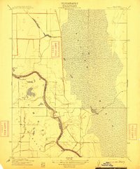
1912 · Tisdale Weir
USGS Topo · 1:31,680

1915 · Ronda
USGS Topo · 1:31,680