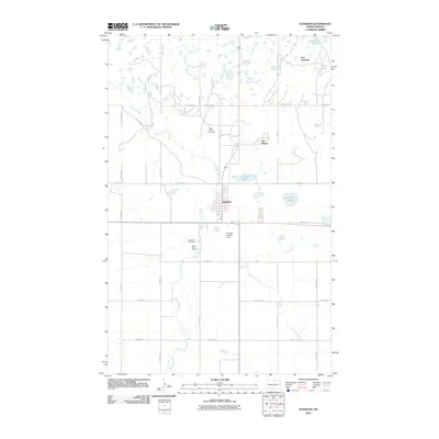
2011 Map of Dunseith
USGS Topo · Published 2011About this map
Dunseith serves as the primary hub in this portion of Rolette County, situated near the confluence of local watercourses like Willow Creek and Mineral Creek. The landscape is defined by its glacial heritage, dotted with numerous small bodies of water including Schutte Lake, Smith Lake, and Bigham Lake. This survey captures the rural infrastructure of the early 21st century, where a network of section-line roads such as 97th St NE and 27th Ave NE provides access to scattered homesteads and specialized sites.
Find a feature on this map
32 named features on this map. Tap any name to fly to it.
Don’t see what you’re looking for? This feature index may not catch every label — zoom into the map to look around manually.
Map Details
Editions of this 2011 Dunseith Map
This is the sole edition of this map. No revisions or reprints were ever made.
Other maps of this area

1935 · Dunseith
USGS Topo · 1:48,000

1936 · Lake Upsilon
USGS Topo · 1:48,000

1939 · Dunseith
USGS Topo · 1:62,500

1942 · Lake Upsilon
USGS Topo · 1:62,500

1953 · Devils Lake
USGS Topo · 1:250,000

1954 · Minot
USGS Topo · 1:250,000

1955 · Fonda
USGS Topo · 1:24,000

1955 · Thorne
USGS Topo · 1:24,000

1955 · Lords Lake
USGS Topo · 1:24,000

1955 · Dunseith
USGS Topo · 1:24,000