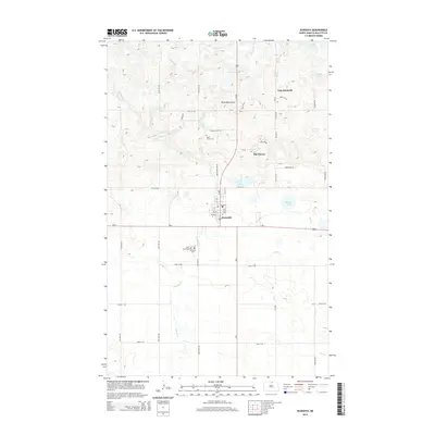
2014 Map of Dunseith
USGS Topo · Published 2014About this map
Dunseith sits at the junction of Us-281 and ND-5, serving as a gateway to the elevated terrain of the Turtle Mountains to the north. This 2014 survey reveals a transition from the lower agricultural plains drained by Willow Cr and Mud Cr to the more varied, lake-dotted topography of the hills. The map provides significant detail for local historians, including the placement of several burial grounds such as Saint Sylvan Cem and the combined Saint Louis Cem and Riverside Cem south of the main town site.
Find a feature on this map
52 named features on this map. Tap any name to fly to it.
Don’t see what you’re looking for? This feature index may not catch every label — zoom into the map to look around manually.
Map Details
Editions of this 2014 Dunseith Map
This is the sole edition of this map. No revisions or reprints were ever made.
Other maps of this area

1935 · Dunseith
USGS Topo · 1:48,000

1936 · Lake Upsilon
USGS Topo · 1:48,000

1939 · Dunseith
USGS Topo · 1:62,500

1942 · Lake Upsilon
USGS Topo · 1:62,500

1953 · Devils Lake
USGS Topo · 1:250,000

1954 · Minot
USGS Topo · 1:250,000

1955 · Fonda
USGS Topo · 1:24,000

1955 · Thorne
USGS Topo · 1:24,000

1955 · Lords Lake
USGS Topo · 1:24,000

1955 · Dunseith
USGS Topo · 1:24,000