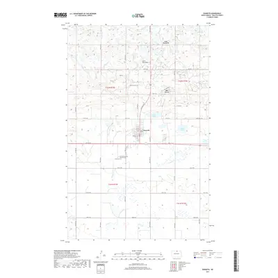
2017 Map of Dunseith
USGS Topo · Published 2017About this map
Dunseith anchors this North Dakota landscape where the high prairie meets the southern slopes of the Turtle Mountains. This 2017 survey details a region defined by its complex glacial hydrology, featuring a dense network of water bodies including Schutte Lake, Bigham Lake, and Thorn Lake. The township structure is clearly marked by a grid of rural roads like 96th ST NE and Cemetery RD, which connect scattered residential areas and important local landmarks.
Find a feature on this map
39 named features on this map. Tap any name to fly to it.
Don’t see what you’re looking for? This feature index may not catch every label — zoom into the map to look around manually.
Map Details
Editions of this 2017 Dunseith Map
This is the sole edition of this map. No revisions or reprints were ever made.
Other maps of this area

1935 · Dunseith
USGS Topo · 1:48,000

1936 · Lake Upsilon
USGS Topo · 1:48,000

1939 · Dunseith
USGS Topo · 1:62,500

1942 · Lake Upsilon
USGS Topo · 1:62,500

1953 · Devils Lake
USGS Topo · 1:250,000

1954 · Minot
USGS Topo · 1:250,000

1955 · Fonda
USGS Topo · 1:24,000

1955 · Thorne
USGS Topo · 1:24,000

1955 · Lords Lake
USGS Topo · 1:24,000

1955 · Dunseith
USGS Topo · 1:24,000