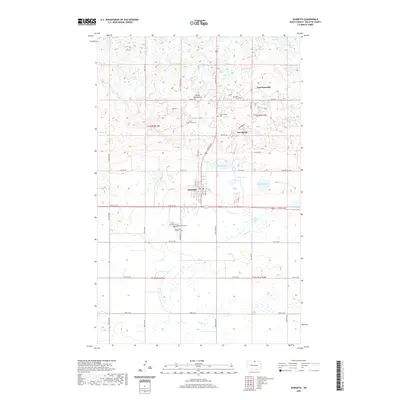
2020 Map of Dunseith
USGS Topo · Published 2020About this map
The Turtle Mountains rise across the northern section of this landscape, creating a distinct topographical boundary north of Dunseith. This area in Rolette County is marked by a high density of rural burial grounds, including Saint Mary's Cem, Saint Sylvan Cem, and the cluster of Saint Louis Cem and Holy Cross Catholic Cem south of the main town. These features, along with Riverside Cem, suggest a deeply rooted community history tied to specific denominational and local identities.
Find a feature on this map
47 named features on this map. Tap any name to fly to it.
Don’t see what you’re looking for? This feature index may not catch every label — zoom into the map to look around manually.
Map Details
Editions of this 2020 Dunseith Map
This is the sole edition of this map. No revisions or reprints were ever made.
Other maps of this area

1935 · Dunseith
USGS Topo · 1:48,000

1936 · Lake Upsilon
USGS Topo · 1:48,000

1939 · Dunseith
USGS Topo · 1:62,500

1942 · Lake Upsilon
USGS Topo · 1:62,500

1953 · Devils Lake
USGS Topo · 1:250,000

1954 · Minot
USGS Topo · 1:250,000

1955 · Fonda
USGS Topo · 1:24,000

1955 · Thorne
USGS Topo · 1:24,000

1955 · Lords Lake
USGS Topo · 1:24,000

1955 · Dunseith
USGS Topo · 1:24,000