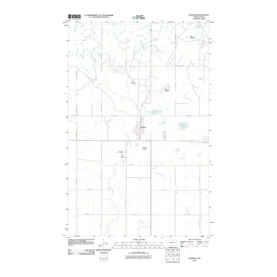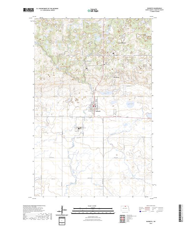
2024 Map of Dunseith
USGS Topo · Published 2024About this map
The Turtle Mountains rise across the northern landscape of this Rolette County region, providing a varied terrain that contrasts with the surrounding plains. The town of Dunseith serves as a central hub, flanked by the residential areas of East Dunseith and San Haven. This geography is defined by an intricate network of wetlands and small water bodies, including Schutte Lake, Bigham Lake, and Smith Lake, which are protected in part by the Rolette County Waterfowl Production Area.
Find a feature on this map
55 named features on this map. Tap any name to fly to it.
Don’t see what you’re looking for? This feature index may not catch every label — zoom into the map to look around manually.
Map Details
Editions of this 2024 Dunseith Map
This is the sole edition of this map. No revisions or reprints were ever made.
Historical Maps of Dunseith Through Time
8 maps found