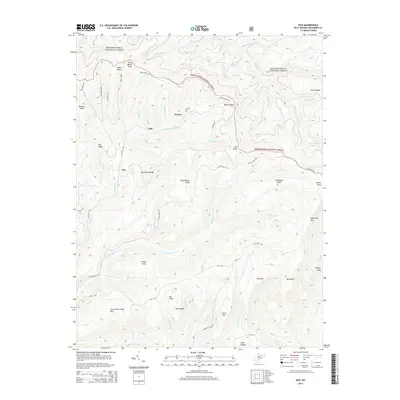
2014 Map of Duo
USGS Topo · Published 2014About this map
Monongahela National Forest land dominates this Greenbrier County landscape, defined by a complex network of high ridges and narrow creek drainages. The settlement at Duo is situated near Shellcamp Ridge and Smokehouse Ridge, while Clearco and Cobb sit further north along the N Fork Big Clear Cr. This territory is characterized by its high elevation, featuring prominent landmarks like Little Clear Creek Mtn and Joe Knob. Local transit is facilitated by timber and forest roads such as Beech Ridge Rd and Les McClung Rd. In the southern portion of the quadrangle, the terrain opens into Kuhn Glades near the headwaters of Little Clear Cr, illustrating the unique high-altitude wetland environments found in this part of West Virginia.
Find a feature on this map
61 named features on this map. Tap any name to fly to it.
Don’t see what you’re looking for? This feature index may not catch every label — zoom into the map to look around manually.
Map Details
Editions of this 2014 Duo Map
This is the sole edition of this map. No revisions or reprints were ever made.
Other maps of this area

1887 · Hinton
USGS Topo · 1:125,000

1887 · Lewisburg
USGS Topo · 1:125,000

1889 · Nicholas
USGS Topo · 1:125,000

1891 · Lewisburg
USGS Topo · 1:125,000

1891 · Nicholas
USGS Topo · 1:125,000

1891 · Huntersville
USGS Topo · 1:125,000

1892 · Hinton
USGS Topo · 1:125,000

1894 · Huntersville
USGS Topo · 1:125,000

1901 · Nicholas
USGS Topo · 1:125,000

1918 · Richwood
USGS Topo · 1:62,500