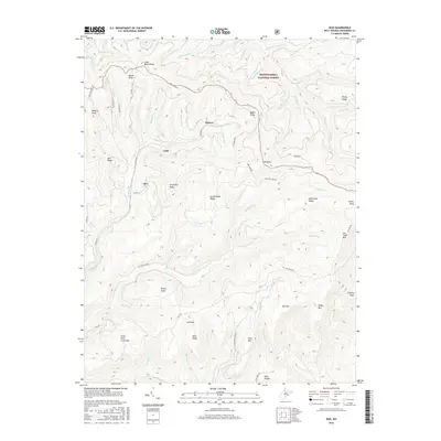
2016 Map of Duo
USGS Topo · Published 2016About this map
The timbered elevations of the Monongahela National Forest dominate this landscape in Greenbrier County, characterized by a series of prominent ridges and high knobs. Small settlements including Duo, Clearco, and Cobb are situated along the winding valley roads and mountain flanks. The terrain is defined by complex drainage patterns, where numerous branches such as Job Knob Br and Smokehouse Br feed into larger systems like Big Clear Cr and Little Clear Cr. This topography highlights the isolated nature of these communities, which are connected by forest routes like Beech Ridge Rd and Anjean Rd. Of particular interest are the Kuhn Glades and high points like Briery Knob and Old Field Mtn, illustrating the high-altitude Appalachian environment as it remained in the early 21st century.
Find a feature on this map
67 named features on this map. Tap any name to fly to it.
Don’t see what you’re looking for? This feature index may not catch every label — zoom into the map to look around manually.
Map Details
Editions of this 2016 Duo Map
This is the sole edition of this map. No revisions or reprints were ever made.
Other maps of this area

1887 · Hinton
USGS Topo · 1:125,000

1887 · Lewisburg
USGS Topo · 1:125,000

1889 · Nicholas
USGS Topo · 1:125,000

1891 · Lewisburg
USGS Topo · 1:125,000

1891 · Nicholas
USGS Topo · 1:125,000

1891 · Huntersville
USGS Topo · 1:125,000

1892 · Hinton
USGS Topo · 1:125,000

1894 · Huntersville
USGS Topo · 1:125,000

1901 · Nicholas
USGS Topo · 1:125,000

1918 · Richwood
USGS Topo · 1:62,500