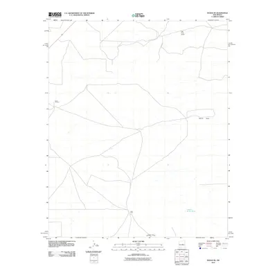
2010 Map of Duran NE
USGS Topo · Published 2010About this map
Hindi Ranch sits at a crossroads in this high desert landscape of central New Mexico, where seasonal watercourses define the layout of the land. The topography is shaped by significant ephemeral drainage systems, including Tall Pine Draw in the north and Camaleon Draw in the south, reflecting the arid environment's natural irrigation patterns. On the western edge of the quadrangle, the Duran Cemetery serves as a vital point of reference for local genealogy and history, marking the community's presence in this part of Torrance County. Notable water features like Laguna de las Vacas and Marino Draw suggest the importance of surface water management for ranching operations in a region where every landmark is tied to the survival and history of the people who worked this terrain.
Find a feature on this map
6 named features on this map. Tap any name to fly to it.
Don’t see what you’re looking for? This feature index may not catch every label — zoom into the map to look around manually.
Map Details
Editions of this 2010 Duran NE Map
This is the sole edition of this map. No revisions or reprints were ever made.
Other maps of this area

1954 · Fort Sumner
USGS Topo · 1:250,000

1958 · Fort Sumner
USGS Topo · 1:250,000

1978 · Vaughn
USGS Topo · 1:24,000

1978 · Tejon
USGS Topo · 1:24,000

1978 · Dunlap Ranch
USGS Topo · 1:24,000

1980 · Corona
USGS Topo · 1:100,000

1981 · Gacho Hill NW
USGS Topo · 1:24,000

1981 · Gacho Hill SW
USGS Topo · 1:24,000

1981 · Camaleon Draw West
USGS Topo · 1:24,000
1981 · Duran
USGS Topo · 1:24,000