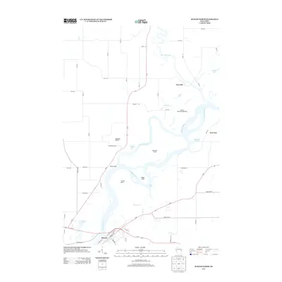
2013 Map of Durand North
USGS Topo · Published 2013About this map
The Chippewa River dominates this landscape at the confluence with the Red Cedar River, creating a complex network of wetlands and backwaters. The terrain is characterized by the prominent Waubeek Mound and the expansive Lower Dunnville Bottoms, where the river splits around Ninemile Island. This hydrological pattern suggests a region defined by seasonal flooding and shifting sandbars, visible in features like the Yellow Bank and the numerous sloughs and bends such as Ninemile Slough and Snaggy Bend.
Find a feature on this map
63 named features on this map. Tap any name to fly to it.
Don’t see what you’re looking for? This feature index may not catch every label — zoom into the map to look around manually.
Map Details
Editions of this 2013 Durand North Map
This is the sole edition of this map. No revisions or reprints were ever made.
Other maps of this area

1929 · Durand
USGS Topo · 1:62,500

1932 · Durand
USGS Topo · 1:62,500
1935 · Arkansaw
USGS Topo · 1:48,000
1940 · Menomonie
USGS Topo · 1:62,500
1941 · Arkansaw
USGS Topo · 1:62,500
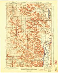
1942 · Arkansaw
USGS Topo · 1:62,500
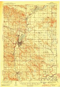
1942 · Menomonie
USGS Topo · 1:62,500
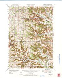
1946 · Knapp
USGS Topo · 1:62,500
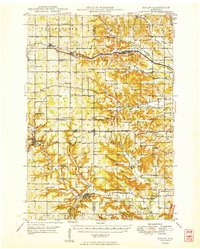
1949 · Knapp
USGS Topo · 1:62,500

1953 · Saint Paul
USGS Topo · 1:250,000