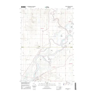
2015 Map of Durand North
USGS Topo · Published 2015About this map
The Chippewa River dominates this landscape at the border of Dunn and Pepin counties, where its confluence with the Red Cedar River creates a complex system of wetlands and side channels. The river's path is marked by distinctive navigation and terrain features like Yellow Bank, Cranes Bend, and Snaggy Bend, while the expansive Upper Dunnville Bottoms and Lower Dunnville Bottoms reflect the flood-prone nature of the valley. Settlement is concentrated in the riverside community of Durand and the historic location of Dunnville.
Find a feature on this map
74 named features on this map. Tap any name to fly to it.
Don’t see what you’re looking for? This feature index may not catch every label — zoom into the map to look around manually.
Map Details
Editions of this 2015 Durand North Map
This is the sole edition of this map. No revisions or reprints were ever made.
Other maps of this area

1929 · Durand
USGS Topo · 1:62,500

1932 · Durand
USGS Topo · 1:62,500

1935 · Arkansaw
USGS Topo · 1:48,000

1940 · Menomonie
USGS Topo · 1:62,500

1941 · Arkansaw
USGS Topo · 1:62,500

1942 · Arkansaw
USGS Topo · 1:62,500

1942 · Menomonie
USGS Topo · 1:62,500

1946 · Knapp
USGS Topo · 1:62,500

1949 · Knapp
USGS Topo · 1:62,500

1953 · Saint Paul
USGS Topo · 1:250,000