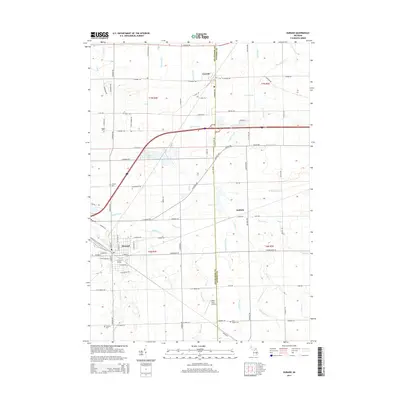
2014 Map of Durand
USGS Topo · Published 2014About this map
The Durand Station stands as a focal point in the city of Durand, marking its importance as a regional rail hub where several lines converge. This 2014 survey documents the landscape of eastern Shiawassee County and western Genesee County, showing the transition from the concentrated street grid of the city to the surrounding agricultural townships. The area is defined by an intricate network of drainage systems such as Chalker Drain and Misteguay Cr, which have historically supported the region's productive farmland. Smaller settlements like Lennon and Duffield are also detailed, anchored by local landmarks. Genealogists will find the locations of several burial grounds, including Verian Cem, Chalker Cem, Saint Joseph Cem, and Lovejoy Cem, providing exact coordinates for family history research. North of the city, Leisure Lake and Waite Field Airport offer a glimpse into the more modern infrastructure and recreational spaces integrated into the rural landscape.
Find a feature on this map
87 named features on this map. Tap any name to fly to it.
Don’t see what you’re looking for? This feature index may not catch every label — zoom into the map to look around manually.
Map Details
Editions of this 2014 Durand Map
This is the sole edition of this map. No revisions or reprints were ever made.
Other maps of this area

1917 · Chesaning
USGS Topo · 1:62,500

1919 · Burt
USGS Topo · 1:62,500

1921 · Burt
USGS Topo · 1:62,500

1922 · Durand
USGS Topo · 1:62,500

1926 · Corunna
USGS Topo · 1:62,500

1929 · Corunna
USGS Topo · 1:62,500

1943 · Burt
USGS Topo · 1:62,500

1943 · Chesaning
USGS Topo · 1:62,500

1943 · Durand
USGS Topo · 1:62,500

1944 · Corunna
USGS Topo · 1:62,500