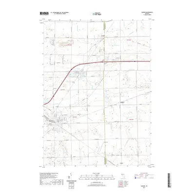
2019 Map of Durand
USGS Topo · Published 2019About this map
Durand and the surrounding township lands of t6n r4e and t7n r4e are defined by a complex network of agricultural drainage and small watercourses on the border of Shiawassee and Genesee counties. The landscape transitions from the residential streets of Durand and Lennon into a grid of rural roads such as Lansing Rd and S Durand Rd. Significant genealogical sites are distributed throughout the area, including Yerian Cem, Chalker Cem, and Saint Joseph Cem.
Find a feature on this map
80 named features on this map. Tap any name to fly to it.
Don’t see what you’re looking for? This feature index may not catch every label — zoom into the map to look around manually.
Map Details
Editions of this 2019 Durand Map
This is the sole edition of this map. No revisions or reprints were ever made.
Other maps of this area

1917 · Chesaning
USGS Topo · 1:62,500

1919 · Burt
USGS Topo · 1:62,500

1921 · Burt
USGS Topo · 1:62,500

1922 · Durand
USGS Topo · 1:62,500

1926 · Corunna
USGS Topo · 1:62,500

1929 · Corunna
USGS Topo · 1:62,500

1943 · Burt
USGS Topo · 1:62,500

1943 · Chesaning
USGS Topo · 1:62,500

1943 · Durand
USGS Topo · 1:62,500

1944 · Corunna
USGS Topo · 1:62,500