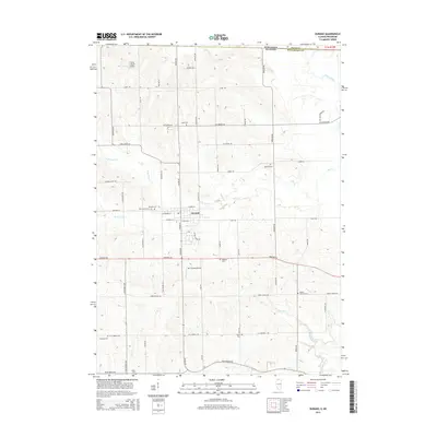
2015 Map of Durand
USGS Topo · Published 2015About this map
The village of Durand sits at the heart of this agricultural region where northern Illinois meets the Wisconsin state line. The landscape is defined by the winding course of Otter Cr, which is fed by the N Br Otter Cr and S Br Otter Cr before moving east. For genealogists and local historians, the area is notably dense with family and community burial grounds, ranging from the central Durand Cem and Saint Marys Cem to more remote sites like Hanford Cem and Hulse Cem. Small-scale aviation is represented by private facilities such as the Flying Z Ranch Airport and Mc Cartney Airport. To the south, the terrain slopes toward the Pecatonica River and the tributary waters of Hungry Run and Pink Cr. The map preserves a network of rural roads that often follow original land section lines, connecting the Illinois town to neighboring Rock County across the border.
Find a feature on this map
60 named features on this map. Tap any name to fly to it.
Don’t see what you’re looking for? This feature index may not catch every label — zoom into the map to look around manually.
Map Details
Editions of this 2015 Durand Map
This is the sole edition of this map. No revisions or reprints were ever made.
Other maps of this area

1891 · Janesville
USGS Topo · 1:62,500

1893 · Janesville
USGS Topo · 1:62,500

1893 · Brodhead
USGS Topo · 1:62,500

1918 · Rockford
USGS Topo · 1:62,500

1932 · Pecatonica
USGS Topo · 1:62,500

1936 · Pecatonica
USGS Topo · 1:62,500

1938 · Rockford
USGS Topo · 1:62,500

1954 · Rockford
USGS Topo · 1:250,000

1955 · Rockford
USGS Topo · 1:250,000

1958 · Rockford
USGS Topo · 1:250,000