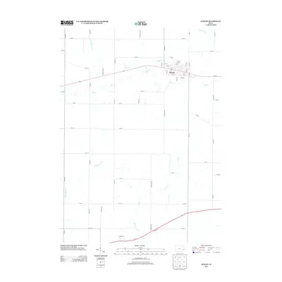
2013 Map of Durant
USGS Topo · Published 2013About this map
Durant serves as the central hub of this eastern Iowa landscape, situated where the grid of Cedar County meets the natural meanders of Mud Cr. The town's layout is defined by its numbered streets and avenues, including 3rd St and 13th Ave, which connect the community to the surrounding agricultural plains. Waterways dictate much of the rural geography, with Big Elkhorn Cr and Little Elkhorn Cr carving through the northern sections while Little Mosquito Cr and Pine Cr drain the southern reaches. This 2013 survey illustrates a classic Midwestern pattern of dispersed farmsteads linked by a rigid road network, including thoroughfares such as Washington Ave and 325th St, reflecting the enduring settlement structure of the region.
Find a feature on this map
58 named features on this map. Tap any name to fly to it.
Don’t see what you’re looking for? This feature index may not catch every label — zoom into the map to look around manually.
Map Details
Editions of this 2013 Durant Map
This is the sole edition of this map. No revisions or reprints were ever made.
Other maps of this area

1890 · Durant
USGS Topo · 1:62,500

1891 · Wilton Junction
USGS Topo · 1:62,500

1894 · Durant
USGS Topo · 1:62,500

1901 · Rock Island
USGS Topo · 1:125,000

1901 · Stanwood
USGS Topo · 1:125,000

1910 · Rock Island
USGS Topo · 1:125,000

1916 · Edgington
USGS Topo · 1:62,500

1938 · Edgington
USGS Topo · 1:62,500

1948 · Muscatine
USGS Topo · 1:62,500

1953 · Wilton Junction
USGS Topo · 1:24,000