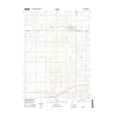
2015 Map of Durant
USGS Topo · Published 2015About this map
Durant stands at the triple junction of Cedar, Scott, and Muscatine Counties, serving as a primary settlement hub in this agricultural landscape. The township structure is clearly defined by a grid of rural roads like Union Ave and Vermont Ave, which surround family-centered landmarks such as Doran Cem and Melpine Cem. This survey illustrates the high density of drainage systems essential to Iowa's farming economy, with Big Elkhorn Cr and Little Elkhorn Cr threading through the northern sections while Little Mosquito Cr and Pine Cr dominate the south. The proximity of the Durant Cem to the town's eastern edge provides a clear reference point for genealogical research, while the various creek branches like Mud Cr highlight the natural topography that influenced early property lines and road placements across the county borders.
Find a feature on this map
56 named features on this map. Tap any name to fly to it.
Don’t see what you’re looking for? This feature index may not catch every label — zoom into the map to look around manually.
Map Details
Editions of this 2015 Durant Map
This is the sole edition of this map. No revisions or reprints were ever made.
Other maps of this area

1890 · Durant
USGS Topo · 1:62,500

1891 · Wilton Junction
USGS Topo · 1:62,500

1894 · Durant
USGS Topo · 1:62,500

1901 · Rock Island
USGS Topo · 1:125,000

1901 · Stanwood
USGS Topo · 1:125,000

1910 · Rock Island
USGS Topo · 1:125,000

1916 · Edgington
USGS Topo · 1:62,500

1938 · Edgington
USGS Topo · 1:62,500

1948 · Muscatine
USGS Topo · 1:62,500

1953 · Wilton Junction
USGS Topo · 1:24,000