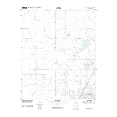
2009 Map of Durant North
USGS Topo · Published 2009About this map
Durant spreads across the southern portion of this landscape, its urban grid meeting a dense network of country roads as the town expanded into Bryan County in the late 2000s. To the northwest, the small settlement of Silo remains a distinct community node amidst a terrain defined by several significant waterways. The Blue River and Little Blue River dominate the northern and eastern sections, while Bois d'Arc Creek and Chuckua Creek drain the central and southern reaches.
Find a feature on this map
35 named features on this map. Tap any name to fly to it.
Don’t see what you’re looking for? This feature index may not catch every label — zoom into the map to look around manually.
Map Details
Editions of this 2009 Durant North Map
This is the sole edition of this map. No revisions or reprints were ever made.
Other maps of this area

1899 · Atoka
USGS Topo · 1:125,000

1900 · Atoka
USGS Topo · 1:125,000

1901 · Tishomingo
USGS Topo · 1:125,000

1901 · Denison
USGS Topo · 1:125,000

1954 · Sherman
USGS Topo · 1:250,000

1957 · Ardmore
USGS Topo · 1:250,000

1958 · Durant
USGS Topo · 1:62,500

1958 · Denison Dam
USGS Topo · 1:62,500

1958 · Sherman
USGS Topo · 1:250,000

1963 · Ardmore
USGS Topo · 1:250,000