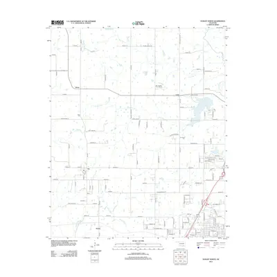
2013 Map of Durant North
USGS Topo · Published 2013About this map
Southeastern Oklahoma State University anchors the southern edge of this landscape, representing the educational heart of the region just north of the city center. The surrounding rural landscape is defined by the winding course of the Little Blue River and its tributaries, including Chuckwa Creek and Mineral Bayou. Small, established communities like Silo, Brown, and Cobb serve as local hubs connected by a network of county roads. The map reveals important genealogical sites such as Keffer Cemetery and Cox Chapel Cemetery, alongside landmarks like the Mc Laughlin Farm Airport. This 2013 data demonstrates how historical routes like the Butterfield Trl have transitioned into the modern transportation grid while maintaining their original paths through the Oklahoma countryside.
Find a feature on this map
116 named features on this map. Tap any name to fly to it.
Don’t see what you’re looking for? This feature index may not catch every label — zoom into the map to look around manually.
Map Details
Editions of this 2013 Durant North Map
This is the sole edition of this map. No revisions or reprints were ever made.
Other maps of this area

1899 · Atoka
USGS Topo · 1:125,000

1900 · Atoka
USGS Topo · 1:125,000

1901 · Tishomingo
USGS Topo · 1:125,000

1901 · Denison
USGS Topo · 1:125,000

1954 · Sherman
USGS Topo · 1:250,000

1957 · Ardmore
USGS Topo · 1:250,000

1958 · Durant
USGS Topo · 1:62,500

1958 · Denison Dam
USGS Topo · 1:62,500

1958 · Sherman
USGS Topo · 1:250,000

1963 · Ardmore
USGS Topo · 1:250,000