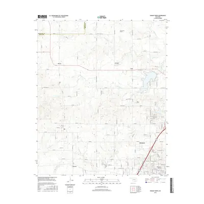
2016 Map of Durant North
USGS Topo · Published 2016About this map
The Durant city limits reach northward on this survey, where the campus of Southeastern Oklahoma State University serves as a prominent landmark. To the northwest, the landscape transitions into the expansive Twelvemile Prairie, a terrain defined by the drainage of the Blue River, Little Blue River, and Bois d'Arc Creek. Small rural communities and historical nodes like Silo, Kiersey, and Brown are connected by a network of sectional roads and the legacy of the Wagon Trail. Cultural sites of significance to local genealogy include Keffer Cemetery and Cox Chapel Cemetery, providing a record of long-standing settlement in the northern portion of Bryan County. The presence of the Mc Laughlin Farm Airport and several named creeks like Chuckwa Creek and Mineral Bayou further illustrate the area's mix of aviation, agricultural, and hydrologic development.
Find a feature on this map
67 named features on this map. Tap any name to fly to it.
Don’t see what you’re looking for? This feature index may not catch every label — zoom into the map to look around manually.
Map Details
Editions of this 2016 Durant North Map
This is the sole edition of this map. No revisions or reprints were ever made.
Other maps of this area

1899 · Atoka
USGS Topo · 1:125,000

1900 · Atoka
USGS Topo · 1:125,000

1901 · Tishomingo
USGS Topo · 1:125,000

1901 · Denison
USGS Topo · 1:125,000

1954 · Sherman
USGS Topo · 1:250,000

1957 · Ardmore
USGS Topo · 1:250,000

1958 · Durant
USGS Topo · 1:62,500

1958 · Denison Dam
USGS Topo · 1:62,500

1958 · Sherman
USGS Topo · 1:250,000

1963 · Ardmore
USGS Topo · 1:250,000