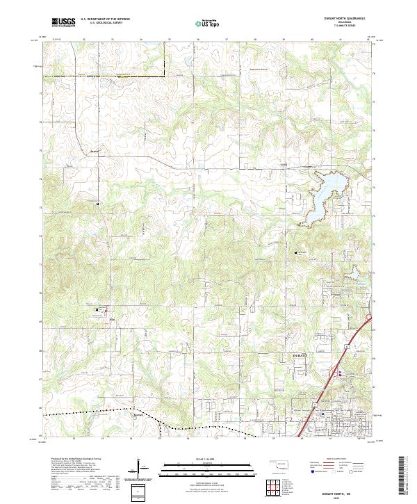
2022 Map of Durant North
USGS Topo · Published 2022About this map
Twelvemile Prairie dominates the northern reaches of this landscape, where the Blue River and Little Blue River carve through the terrain of Bryan and Johnston Counties. The area preserves a mix of small community centers and agricultural land, with established settlements like Silo, Brown, and Kiersey dotting the countryside. To the southeast, the northern edge of Durant shows significant development, anchored by the campus of Southeastern Oklahoma State University. Local genealogy is well-supported by several plotted burial grounds, including Keffer Cem and Restland Cem. The map reveals a complex network of named creeks such as Mineral Bayou and Chuckwa Cr, which have historically shaped the drainage and settlement patterns of this section of Oklahoma.
Find a feature on this map
84 named features on this map. Tap any name to fly to it.
Don’t see what you’re looking for? This feature index may not catch every label — zoom into the map to look around manually.
Map Details
Editions of this 2022 Durant North Map
This is the sole edition of this map. No revisions or reprints were ever made.
Other maps of this area

1899 · Atoka
USGS Topo · 1:125,000

1900 · Atoka
USGS Topo · 1:125,000

1901 · Tishomingo
USGS Topo · 1:125,000

1901 · Denison
USGS Topo · 1:125,000

1954 · Sherman
USGS Topo · 1:250,000

1957 · Ardmore
USGS Topo · 1:250,000

1958 · Durant
USGS Topo · 1:62,500

1958 · Denison Dam
USGS Topo · 1:62,500

1958 · Sherman
USGS Topo · 1:250,000

1963 · Ardmore
USGS Topo · 1:250,000