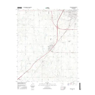
2016 Map of Durant South
USGS Topo · Published 2016About this map
Durant and its southern neighboring communities of Calera and Olive are anchored by a network of drainage systems and transportation corridors. The city’s residential expansion is evident along W Main St and W Arkansas St, while the local topography is defined by the winding paths of Mineral Bayou and Island Bayou. Aviation history and utility are represented by the presence of Durant Regional Airport - Eaker Field and Boatner Field. For genealogists and local historians, several burial grounds are recorded across the landscape, including Highland Cem on the eastern edge of the city, Rose Hill Cem situated near the intersection of major transit lines, and Harrison Cem further west. The map illustrates how these small settlements have developed around water sources like Harris Lake and Webb Lake while maintaining a structured grid of rural roads and residential avenues.
Find a feature on this map
132 named features on this map. Tap any name to fly to it.
Don’t see what you’re looking for? This feature index may not catch every label — zoom into the map to look around manually.
Map Details
Editions of this 2016 Durant South Map
This is the sole edition of this map. No revisions or reprints were ever made.
Other maps of this area

1899 · Atoka
USGS Topo · 1:125,000

1900 · Atoka
USGS Topo · 1:125,000

1901 · Tishomingo
USGS Topo · 1:125,000

1901 · Denison
USGS Topo · 1:125,000

1954 · Sherman
USGS Topo · 1:250,000

1957 · Denison Dam
USGS Topo · 1:24,000

1957 · Ardmore
USGS Topo · 1:250,000

1958 · Durant
USGS Topo · 1:62,500

1958 · Denison Dam
USGS Topo · 1:62,500

1958 · Sherman
USGS Topo · 1:250,000