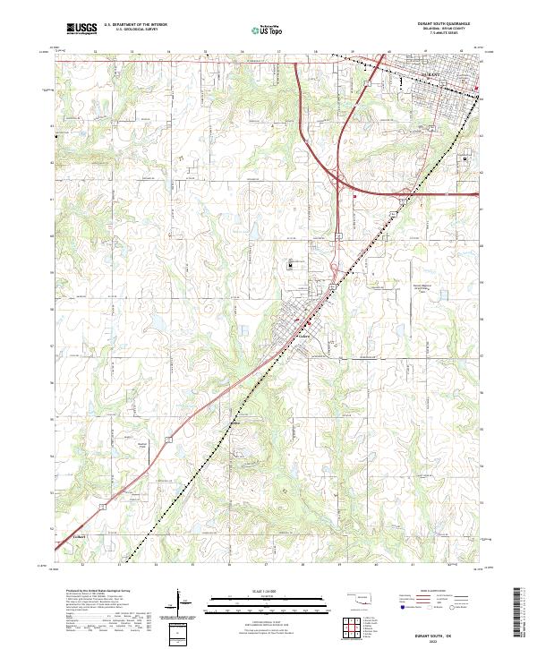
2022 Map of Durant South
USGS Topo · Published 2022About this map
The southern portion of Durant and the township of Calera anchor this survey of Bryan County, showing the intersection of major regional transport corridors and the administrative heart of the area at the Bryan County Courthouse. The landscape is defined by the drainage basins of Island Bayou and Moore Cr, which wind through a mix of residential blocks and larger rural tracts. Aviation history is prominent here, with both the Durant Regional Airport/Eaker Field and the smaller Boatner Field serving as local landmarks. Genealogists can find several established burial grounds, including Rose Hill Cem and Highland Cem on the outskirts of the primary settlements. Further south, the community of Olive sits near Edwards Lake, while the map extends toward Colbert, documenting the transition from the city's structured grid to the surrounding agricultural and creek-cut terrain.
Find a feature on this map
69 named features on this map. Tap any name to fly to it.
Don’t see what you’re looking for? This feature index may not catch every label — zoom into the map to look around manually.
Map Details
Editions of this 2022 Durant South Map
This is the sole edition of this map. No revisions or reprints were ever made.
Other maps of this area

1899 · Atoka
USGS Topo · 1:125,000

1900 · Atoka
USGS Topo · 1:125,000

1901 · Tishomingo
USGS Topo · 1:125,000

1901 · Denison
USGS Topo · 1:125,000

1954 · Sherman
USGS Topo · 1:250,000

1957 · Denison Dam
USGS Topo · 1:24,000

1957 · Ardmore
USGS Topo · 1:250,000

1958 · Durant
USGS Topo · 1:62,500

1958 · Denison Dam
USGS Topo · 1:62,500

1958 · Sherman
USGS Topo · 1:250,000