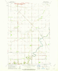
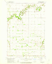
1961 Map of Durbin
USGS Topo · Published 1963About this map
Maple River meanders across this Red River Valley landscape, defining the topography of Cass County in the early 1960s. The region is characterized by its organized agricultural grid, punctuated by the small settlements of Durbin and Everest. These communities served as vital nodes along the Great Northern railroad, which cuts diagonally across the prairie to facilitate the transport of grain.
Find a feature on this map
14 named features on this map. Tap any name to fly to it.
Don’t see what you’re looking for? This feature index may not catch every label — zoom into the map to look around manually.
Map Details
Editions of this 1961 Durbin Map
This is the sole edition of this map. No revisions or reprints were ever made.
Other maps of this area
1895 · Casselton
USGS Topo · 1:125,000
1897 · Casselton
USGS Topo · 1:125,000

1953 · Fargo
USGS Topo · 1:250,000

1956 · Fargo
USGS Topo · 1:250,000
1959 · Kindred
USGS Topo · 1:24,000
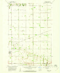
1959 · Leonard
USGS Topo · 1:24,000
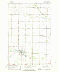
1961 · Casselton
USGS Topo · 1:24,000
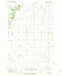
1961 · Casselton SE
USGS Topo · 1:24,000
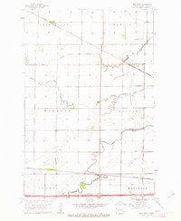
1961 · Mapleton
USGS Topo · 1:24,000
1961 · Sheldon NE
USGS Topo · 1:24,000