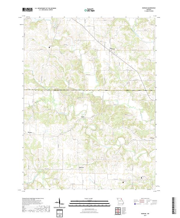
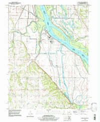
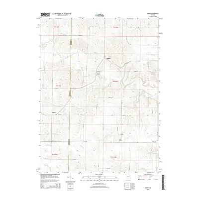
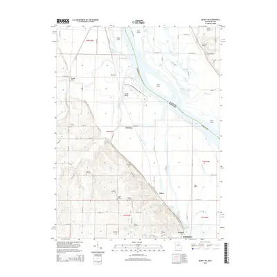
2021 Map of Durham
USGS Topo · Published 2021About this map
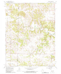
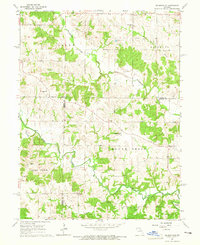
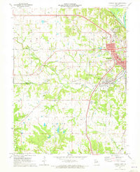
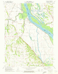
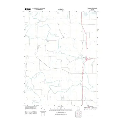
The Middle Fabius River and South Fabius River define the undulating landscape of this border region between Lewis and Marion counties. Small agricultural communities such as Durham, Emerson, and Naomi serve as anchors for a dense network of country roads, including State Hwy N and State Hwy P. The terrain is deeply etched by a system of drainages including Troublesome Cr and Pigeon Cr, creating a complex topography of ridges and valleys that has historically dictated the placement of homesteads and burial grounds. For genealogists and local historians, the map preserves the locations of several family-named cemeteries, such as Wagner Cem, Banks Cem, and McPike Cem, which remain tucked away from the primary thoroughfares. The presence of Klocke Lake and various smaller creek branches like Little Grassy Cr further illustrates the water-rich nature of this Missouri farmland.
Find a feature on this map
55 named features on this map. Tap any name to fly to it.
Don’t see what you’re looking for? This feature index may not catch every label — zoom into the map to look around manually.
Map Details
Editions of this 2021 Durham Map
This is the sole edition of this map. No revisions or reprints were ever made.
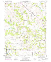
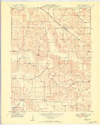
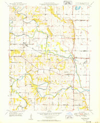
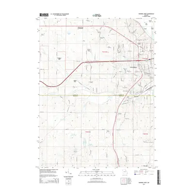
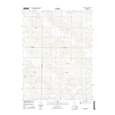
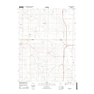
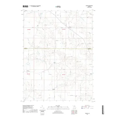
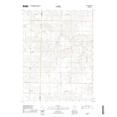
Historical Maps of Benbow Through Time
33 maps found
1949 Durham
Marion County, MO

1949 Maywood
Marion County, MO
1950 Durham
Marion County, MO
1950 Maywood
Marion County, MO
1964 Emden
Marion County, MO
1964 Nelsonville
Marion County, MO
1971 Hannibal West
Marion County, MO
1971 Quincy SW
Marion County, MO
1996 Quincy SW
Marion County, MO
2012 Durham
Marion County, MO
2012 Emden
Marion County, MO
2012 Hannibal West
Marion County, MO
2012 Maywood
Marion County, MO
2012 Nelsonville
Marion County, MO
2012 Quincy SW
Marion County, MO
2014 Durham
Marion County, MO
2014 Emden
Marion County, MO
2014 Hannibal West
Marion County, MO
2014 Nelsonville
Marion County, MO
2015 Maywood
Marion County, MO
2015 Quincy SW
Marion County, MO
2017 Durham
Marion County, MO
2017 Emden
Marion County, MO
2017 Hannibal West
Marion County, MO
2017 Maywood
Marion County, MO
2017 Nelsonville
Marion County, MO
2017 Quincy SW
Marion County, MO
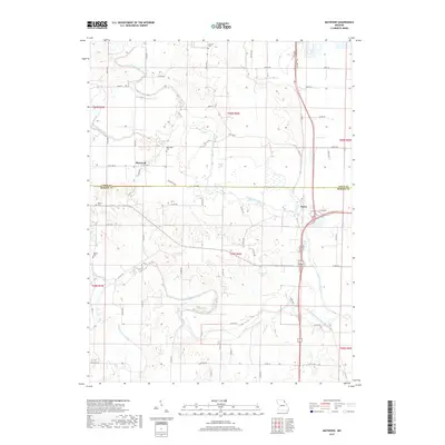
2021 Durham
Marion County, MO
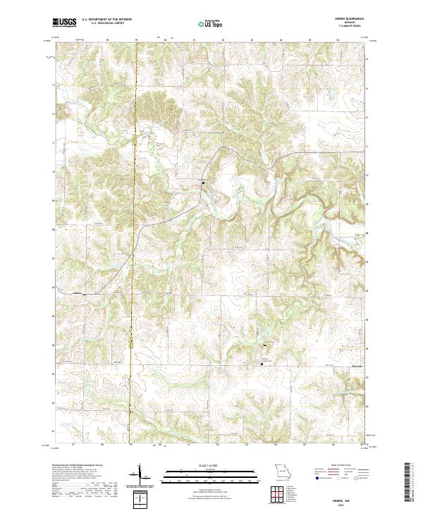
2021 Emden
Marion County, MO
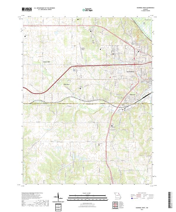
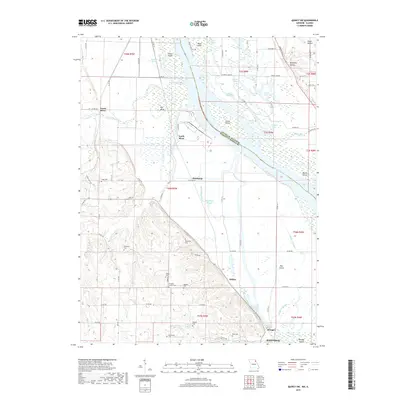
2021 Hannibal West
Marion County, MO
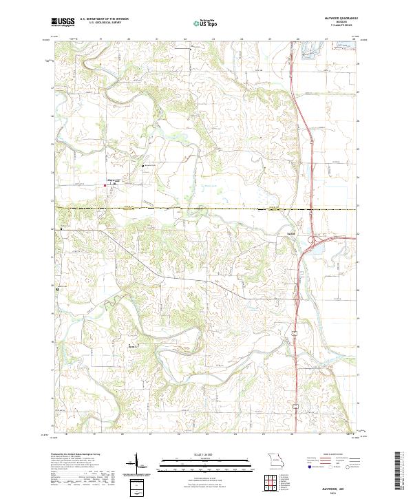
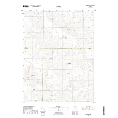
2021 Maywood
Marion County, MO
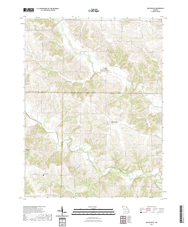
2021 Nelsonville
Marion County, MO
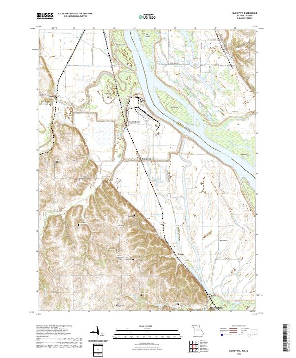
2021 Quincy SW
Marion County, MO