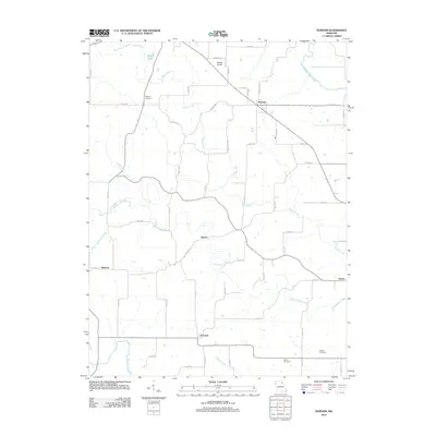
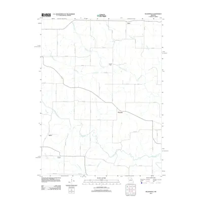
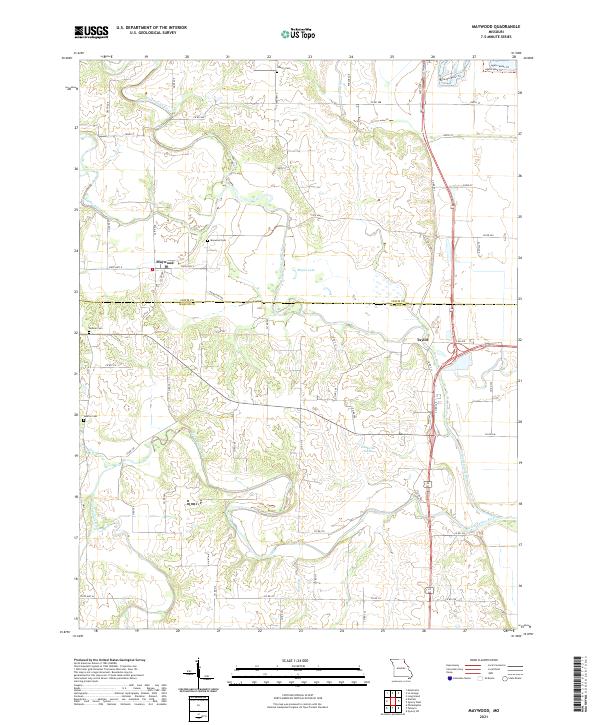
1950 Map of Maywood
USGS Topo · Published 1950About this map
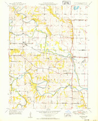
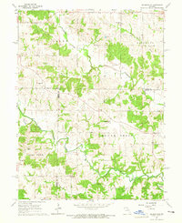
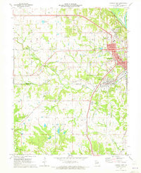
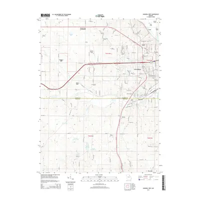
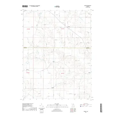
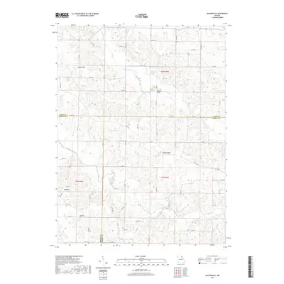
The North Fabius River and its sister forks dominate this portion of Lewis and Marion counties, creating a landscape defined by meandering watercourses and flood control measures. Near Taylor, a complex network including a Diversion Ditch, levees, and the Old Channel illustrates mid-century efforts to manage the river's flow. The settlement of Maywood serves as a local hub, situated where the Chicago Burlington and Quincy railroad cuts across the prairie, providing a critical link for the agricultural community.
Find a feature on this map
25 named features on this map. Tap any name to fly to it.
Don’t see what you’re looking for? This feature index may not catch every label — zoom into the map to look around manually.
Map Details
Editions of this 1950 Maywood Map
This is the sole edition of this map. No revisions or reprints were ever made.
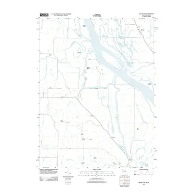
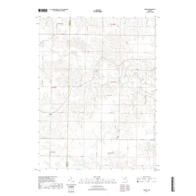
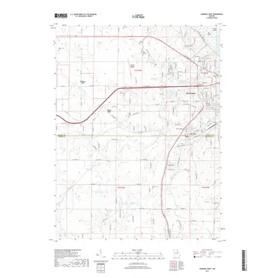
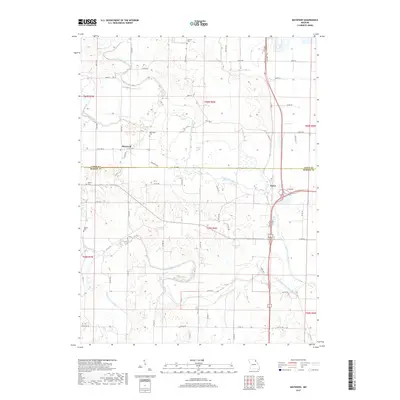
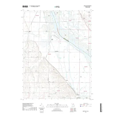
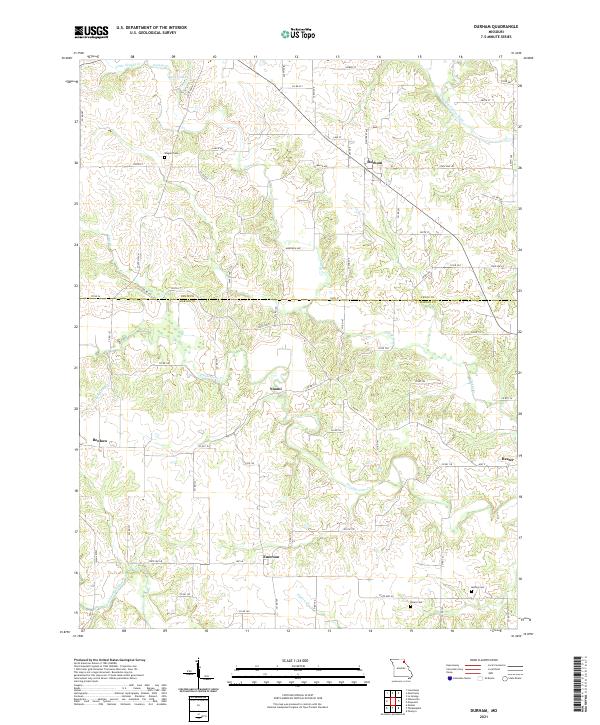
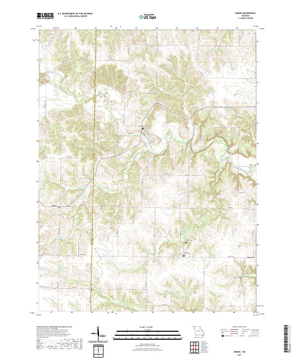
Historical Maps of Maywood Through Time
33 maps found
1949 Durham
Marion County, MO

1949 Maywood
Marion County, MO
1950 Durham
Marion County, MO
1950 Maywood
Marion County, MO
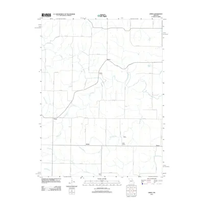
1964 Emden
Marion County, MO
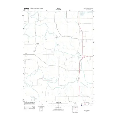
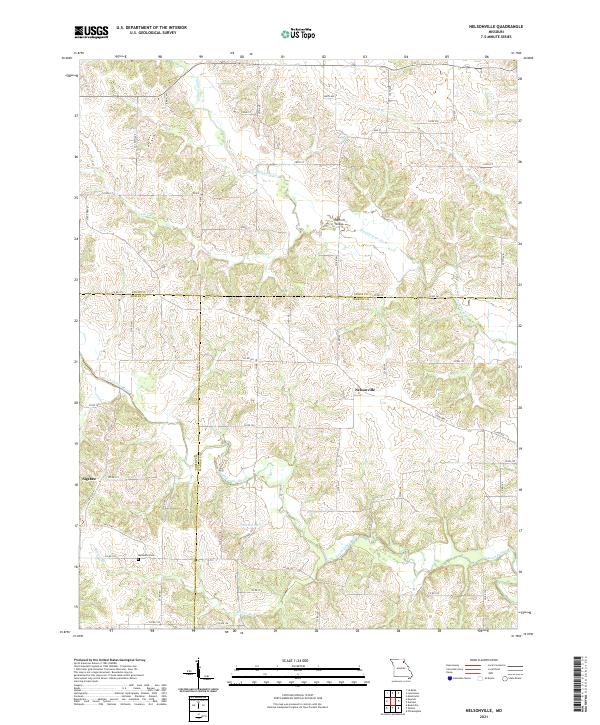
1964 Nelsonville
Marion County, MO
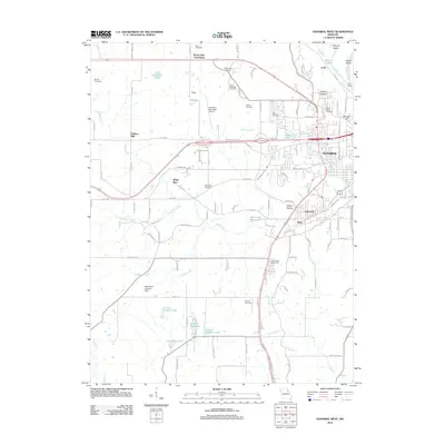
1971 Hannibal West
Marion County, MO
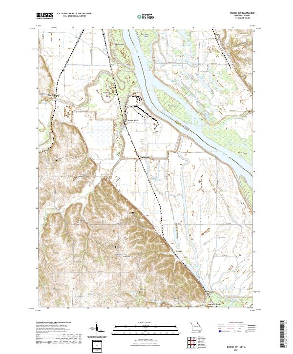
1971 Quincy SW
Marion County, MO
1996 Quincy SW
Marion County, MO
2012 Durham
Marion County, MO
2012 Emden
Marion County, MO
2012 Hannibal West
Marion County, MO
2012 Maywood
Marion County, MO
2012 Nelsonville
Marion County, MO
2012 Quincy SW
Marion County, MO
2014 Durham
Marion County, MO
2014 Emden
Marion County, MO
2014 Hannibal West
Marion County, MO
2014 Nelsonville
Marion County, MO
2015 Maywood
Marion County, MO
2015 Quincy SW
Marion County, MO
2017 Durham
Marion County, MO
2017 Emden
Marion County, MO
2017 Hannibal West
Marion County, MO
2017 Maywood
Marion County, MO
2017 Nelsonville
Marion County, MO
2017 Quincy SW
Marion County, MO
2021 Durham
Marion County, MO
2021 Emden
Marion County, MO
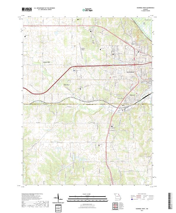
2021 Hannibal West
Marion County, MO
2021 Maywood
Marion County, MO
2021 Nelsonville
Marion County, MO
2021 Quincy SW
Marion County, MO