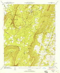
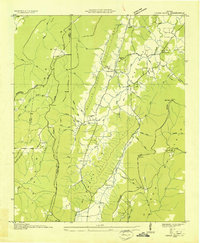
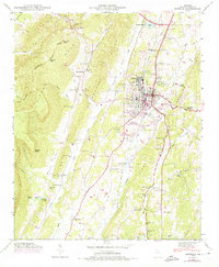
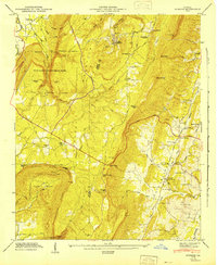
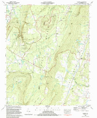
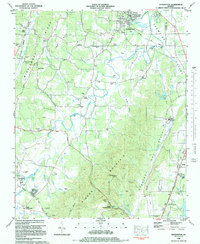
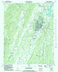
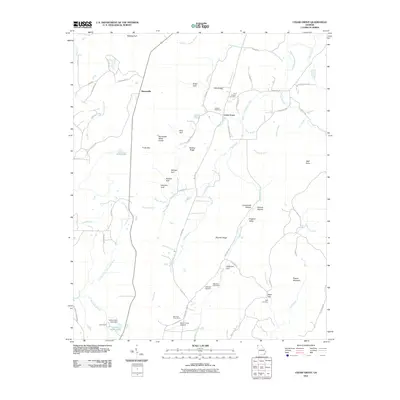
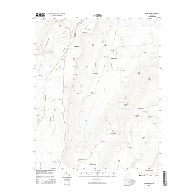
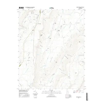
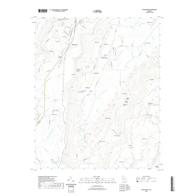
1946 Map of Durham
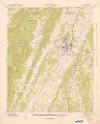
USGS Topo · Published 1959About this map
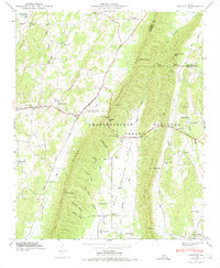
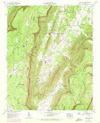
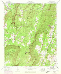
Lookout Mountain dominates this mid-century survey of Northwest Georgia, defined by the sharp transition from the elevated plateau down into the Chattanooga Valley. The rugged topography is etched by deep drainages like Sitton Gulch Creek and Little Mama Gulch, much of which is protected within Cloudland Canyon State Park. Settlement patterns follow the geology, with the community of Durham (also known as Pittsburg) positioned near the plateau's heights, while Cassandra and Cooper Heights occupy the lower valley floors near the Georgia and Alabama Scenic Highway.
Find a feature on this map
59 named features on this map. Tap any name to fly to it.
Don’t see what you’re looking for? This feature index may not catch every label — zoom into the map to look around manually.
Map Details
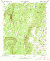
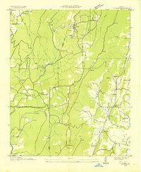
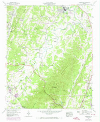
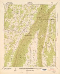
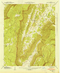
Editions of this 1946 Durham Map
3 editions found
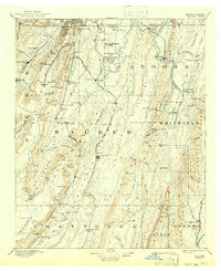
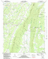
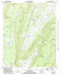
Historical Maps of Trenton Through Time
40 maps found
1892 Catoosa
Walker County, GA

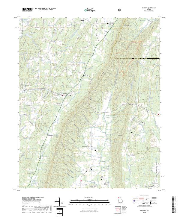
1935 Catlett
Walker County, GA
1935 Durham
Walker County, GA
1936 Cedar Grove
Walker County, GA

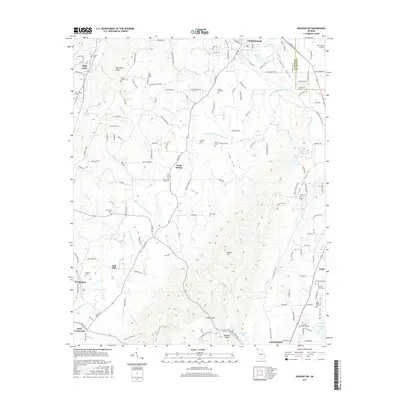
1936 Estelle
Walker County, GA

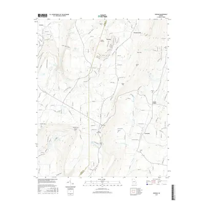
1936 Kensington
Walker County, GA
1946 Catlett
Walker County, GA
1946 Cedar Grove
Walker County, GA
1946 Durham
Walker County, GA
1946 Estelle
Walker County, GA
1946 Kensington
Walker County, GA
1947 Catlett
Walker County, GA
1947 Cedar Grove
Walker County, GA
1947 Durham
Walker County, GA
1947 Estelle
Walker County, GA
1982 Catlett
Walker County, GA
1982 Cedar Grove
Walker County, GA
1983 Durham
Walker County, GA
1983 Kensington
Walker County, GA
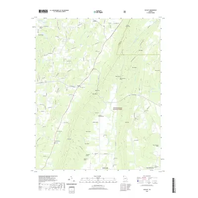
1983 Lafayette
Walker County, GA
2011 Catlett
Walker County, GA
2011 Cedar Grove
Walker County, GA
2011 Durham
Walker County, GA
2011 Kensington
Walker County, GA
2014 Catlett
Walker County, GA
2014 Cedar Grove
Walker County, GA
2014 Durham
Walker County, GA
2014 Kensington
Walker County, GA
2017 Catlett
Walker County, GA
2017 Cedar Grove
Walker County, GA
2017 Durham
Walker County, GA
2017 Kensington
Walker County, GA
2020 Catlett
Walker County, GA
2020 Cedar Grove
Walker County, GA
2020 Durham
Walker County, GA
2020 Kensington
Walker County, GA
2024 Catlett
Walker County, GA
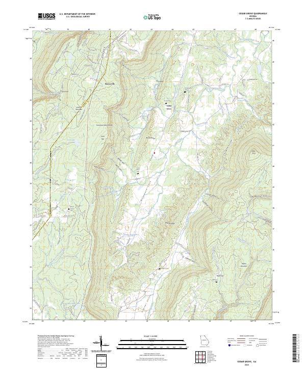
2024 Cedar Grove
Walker County, GA
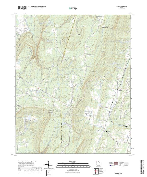
2024 Durham
Walker County, GA
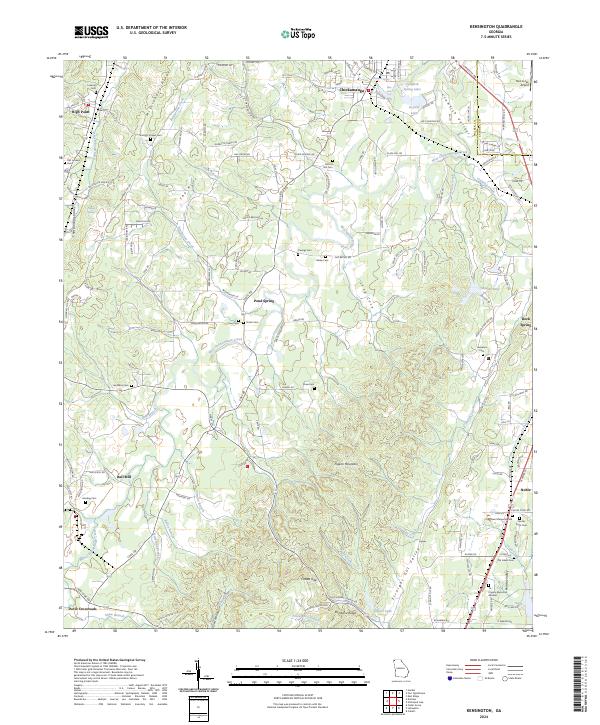
2024 Kensington
Walker County, GA