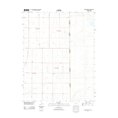
2013 Map of Durkee Creek SE
USGS Topo · Published 2013About this map
Garder Cem stands as a primary landmark in this rural landscape at the intersection of CO Road 89 and CO Road M. The high plains terrain is defined by the ephemeral courses of Dry Creek and North Bear Creek, which drain toward the east across the border between Colorado and Kansas. The map reveals a strict grid of section lines and county roads, such as CO Road S and CO Road J, characteristic of the Public Land Survey System that shaped the American West. This 2013 survey provides a clear view of the borderlands where Prowers County, Colorado, meets Hamilton County, Kansas, showing the persistent rural infrastructure of the region.
Find a feature on this map
22 named features on this map. Tap any name to fly to it.
Don’t see what you’re looking for? This feature index may not catch every label — zoom into the map to look around manually.
Map Details
Editions of this 2013 Durkee Creek SE Map
This is the sole edition of this map. No revisions or reprints were ever made.
Other maps of this area

1891 · Albany
USGS Topo · 1:125,000

1893 · Albany
USGS Topo · 1:125,000

1900 · Syracuse
USGS Topo · 1:125,000

1920 · Syracuse
USGS Topo · 1:125,000

1955 · La Junta
USGS Topo · 1:250,000

1955 · Dodge City
USGS Topo · 1:250,000

1958 · La Junta
USGS Topo · 1:250,000

1958 · Dodge City
USGS Topo · 1:250,000

1959 · Dodge City
USGS Topo · 1:250,000

1966 · Syracuse West SW
USGS Topo · 1:24,000