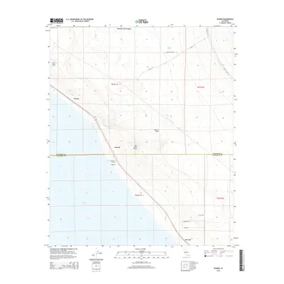
2015 Map of Durmid
USGS Topo · Published 2015About this map
The northeastern shoreline of the Salton Sea dominates this landscape, revealing a thin corridor of infrastructure between the water and the rising desert terrain. Small named settlements such as Ferrum, Durmid, and Bertram sit as points along the transportation spine that hugs the coast. Inland, the Imperial Valley gives way to the geological features of Bat Caves Buttes, while the Coachella Canal cuts through the eastern desert to manage the region's vital water supply. In the northern reaches, the map identifies Rancho Dos Palmas and Hunters Spring, indicating historic desert water sources and ranching locations. This survey captures a specific desert-industrial character, where local access roads like Sea Breeze Dr and Corvina Dr reflect the recreational and residential footprints of the era near the water's edge, contrasted by the isolation of the Desert Air Sky Ranch.
Find a feature on this map
26 named features on this map. Tap any name to fly to it.
Don’t see what you’re looking for? This feature index may not catch every label — zoom into the map to look around manually.
Map Details
Editions of this 2015 Durmid Map
This is the sole edition of this map. No revisions or reprints were ever made.
Other maps of this area

1940 · Frink
USGS Topo · 1:62,500

1940 · Cottonwood Spring
USGS Topo · 1:62,500

1940 · Canyon Spring
USGS Topo · 1:62,500

1940 · Durmid
USGS Topo · 1:62,500

1943 · Canyon Spring
USGS Topo · 1:62,500

1944 · Cottonwood Spring
USGS Topo · 1:62,500

1944 · Durmid
USGS Topo · 1:62,500

1944 · Frink
USGS Topo · 1:62,500

1954 · Salton Sea
USGS Topo · 1:250,000

1955 · Salton Sea
USGS Topo · 1:250,000