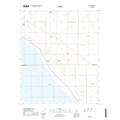
2018 Map of Durmid
USGS Topo · Published 2018About this map
Rancho Dos Palmas sits at the northern edge of this arid landscape, where the shifting sands of the Imperial Valley meet the rising waters of the Salton Sea. The map documents a corridor of infrastructure and small outposts along the northeastern shore, including Ferrum, Durmid, and Bertram. This area is characterized by a stark transition from the irrigated lifeline of the Coachella Canal to the rugged, natural features like Bat Caves Buttes and Hunters Spring. The layout of Line Rd and the proximity of the Desert Air Sky Ranch Airport illustrate the sparse but deliberate human imprint on this desert basin. Geologic and topographic details capture the low-lying elevations where seasonal drainage like Salt Cr flows toward the inland sea, marking a territory defined by extreme heat and specialized agriculture.
Find a feature on this map
23 named features on this map. Tap any name to fly to it.
Don’t see what you’re looking for? This feature index may not catch every label — zoom into the map to look around manually.
Map Details
Editions of this 2018 Durmid Map
This is the sole edition of this map. No revisions or reprints were ever made.
Other maps of this area

1940 · Frink
USGS Topo · 1:62,500

1940 · Cottonwood Spring
USGS Topo · 1:62,500

1940 · Canyon Spring
USGS Topo · 1:62,500

1940 · Durmid
USGS Topo · 1:62,500

1943 · Canyon Spring
USGS Topo · 1:62,500

1944 · Cottonwood Spring
USGS Topo · 1:62,500

1944 · Durmid
USGS Topo · 1:62,500

1944 · Frink
USGS Topo · 1:62,500

1954 · Salton Sea
USGS Topo · 1:250,000

1955 · Salton Sea
USGS Topo · 1:250,000