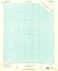
1956 Map of Durmid SE
USGS Topo · Published 1959About this map
The vast expanse of the Salton Sea dominates this mid-century survey of the Imperial Valley, reaching a recorded elevation 235 feet below sea level at the time of mapping. This shoreline reveals a landscape defined by military and state interests, featuring the extensive Salton Sea Test Base and a large Naval Reservation covering much of the water's surface. Along the northeastern edge, the Southern Pacific railroad corridor and Route 111 provide the primary transit links through this arid environment, passing through the small settlement of Bertram. The presence of a Flight Course Pylon near the water suggests the area's specialized aeronautical use during the Cold War. Most of the eastern shoreline is designated as State Park, highlighting the early efforts to manage this unique basin before its later ecological shifts.
Find a feature on this map
16 named features on this map. Tap any name to fly to it.
Don’t see what you’re looking for? This feature index may not catch every label — zoom into the map to look around manually.
Map Details
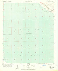
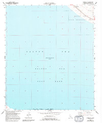
Editions of this 1956 Durmid SE Map
3 editions found
Other maps of this area

1940 · Kane Spring
USGS Topo · 1:62,500

1940 · Frink
USGS Topo · 1:62,500

1940 · Durmid
USGS Topo · 1:62,500

1944 · Durmid
USGS Topo · 1:62,500

1944 · Kane Spring
USGS Topo · 1:62,500

1944 · Calipatria
USGS Topo · 1:62,500

1944 · Frink
USGS Topo · 1:62,500

1954 · Salton Sea
USGS Topo · 1:250,000

1955 · Salton Sea
USGS Topo · 1:250,000

1956 · Frink NW
USGS Topo · 1:24,000