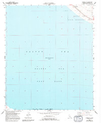
1956 Map of Durmid SE
USGS Topo · Published 1992About this map
Salton Sea waters dominate this mid-century topographic survey, recording the unique hydrological and military character of Imperial County. The map documents an expansive Test Base spanning the southern waters, part of a complex boundary shared with the Salton Sea National (Naval Reservation) Wildlife Refuge. These designations highlight the area's dual role as a sensitive ecological sanctuary and a controlled military zone.
Find a feature on this map
12 named features on this map. Tap any name to fly to it.
Don’t see what you’re looking for? This feature index may not catch every label — zoom into the map to look around manually.
Map Details
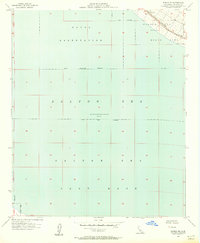
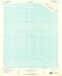
Editions of this 1956 Durmid SE Map
3 editions found
Other maps of this area

1940 · Kane Spring
USGS Topo · 1:62,500

1940 · Frink
USGS Topo · 1:62,500

1940 · Durmid
USGS Topo · 1:62,500

1944 · Durmid
USGS Topo · 1:62,500

1944 · Kane Spring
USGS Topo · 1:62,500

1944 · Calipatria
USGS Topo · 1:62,500

1944 · Frink
USGS Topo · 1:62,500

1954 · Salton Sea
USGS Topo · 1:250,000

1955 · Salton Sea
USGS Topo · 1:250,000

1956 · Frink NW
USGS Topo · 1:24,000