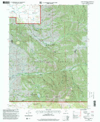
1998 Map of Durst Mountain
USGS Topo · Published 2000About this map
Cache National Forest and the Ogden Ranger District dominate this 1990s landscape, where the high ridges of Durst Mountain and Mahogany Mountain overlook a complex network of canyons and hydraulic infrastructure. The northwest corner reveals a rare glimpse of local religious history with the Monastery near the South Fork Ogden River, situated just east of the Huntsville boundary. Water management is central to the area's development, evidenced by the South Bench Canal, the Northwest Ditch, and an extensive Aqueduct system that snakes along the benchlands. The terrain is marked by deep cuts such as Cottonwood Canyon and Stoddard Canyon, while smaller landmarks like Sulphur Springs and Bohman Hollow provide fine-grained detail for researchers. This survey, updated by the Forest Service, captures the intersection of mountainous wilderness and the essential water routes of the Ogden River valley.
Find a feature on this map
38 named features on this map. Tap any name to fly to it.
Don’t see what you’re looking for? This feature index may not catch every label — zoom into the map to look around manually.
Map Details
Editions of this 1998 Durst Mountain Map
This is the sole edition of this map. No revisions or reprints were ever made.
Other maps of this area

1954 · Ogden
USGS Topo · 1:250,000

1955 · Peterson
USGS Topo · 1:24,000

1955 · Huntsville
USGS Topo · 1:24,000

1955 · Snow Basin
USGS Topo · 1:24,000

1958 · Ogden
USGS Topo · 1:250,000

1960 · Ogden
USGS Topo · 1:250,000
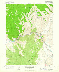
1961 · Devils Slide
USGS Topo · 1:24,000
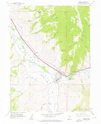
1961 · Morgan
USGS Topo · 1:24,000

1961 · Morgan
USGS Topo · 1:62,500
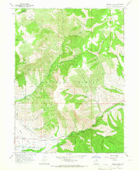
1964 · Browns Hole
USGS Topo · 1:24,000