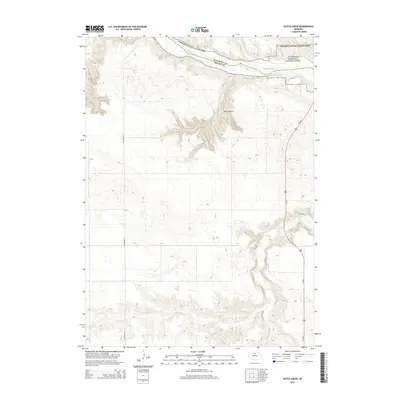
2014 Map of Dutch Creek
USGS Topo · Published 2014About this map
The Niobrara National Scenic River corridor defines the northern boundary of this Nebraska landscape, where the waters of the Niobrara River cut through the border of Keya Paha and Brown counties. This 2014 survey documents a rugged hydrologic system where multiple tributaries, including Plum Cr and Jewett Cr, feed into the main river channel from the surrounding tablelands. Further south, the terrain is marked by the sharp relief of Devils Gulch and the seasonal drainage patterns of Sand Draw, illustrating the erosional forces typical of this region. Transportation infrastructure is represented by the north-south transit of Us-183 and the route of Old Highway 7. Recreational and natural features such as the Keller Park Ponds and the winding course of Bone Cr provide specific points of interest for those studying the intersection of the state’s managed natural areas and its rural road network.
Find a feature on this map
12 named features on this map. Tap any name to fly to it.
Don’t see what you’re looking for? This feature index may not catch every label — zoom into the map to look around manually.
Map Details
Editions of this 2014 Dutch Creek Map
This is the sole edition of this map. No revisions or reprints were ever made.
Other maps of this area

1949 · Dutch Creek
USGS Topo · 1:24,000

1950 · Bassett NW
USGS Topo · 1:24,000

1950 · Meadville
USGS Topo · 1:24,000

1950 · Huddle Table
USGS Topo · 1:24,000

1950 · Dutch Creek
USGS Topo · 1:24,000

1954 · Ainsworth NW
USGS Topo · 1:24,000

1954 · Ainsworth SW
USGS Topo · 1:24,000

1954 · Ainsworth
USGS Topo · 1:24,000

1954 · Long Pine
USGS Topo · 1:24,000

1955 · O'Neill
USGS Topo · 1:250,000