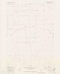
1980 Map of Dutch Creek
USGS Topo · Published 1980About this map
The high mountain divides of Siskiyou County are defined by the convergence of the Rogue River National Forest and Klamath National Forest. This landscape is marked by a legacy of early settlement and resource extraction, evidenced by several cabin sites and inactive mining operations. Notable locations such as Eileen (Site), Johnsons Dairy (Site), and Lowdens Cabin (Site) indicate where high-altitude homesteads once existed near productive water sources like Reeves Ranch Spring.
Find a feature on this map
46 named features on this map. Tap any name to fly to it.
Don’t see what you’re looking for? This feature index may not catch every label — zoom into the map to look around manually.
Map Details
Editions of this 1980 Dutch Creek Map
2 editions found
Other maps of this area

1886 · Shasta
USGS Topo · 1:250,000

1891 · Ashland
USGS Topo · 1:250,000

1893 · Ashland
USGS Topo · 1:250,000

1894 · Shasta
USGS Topo · 1:250,000

1897 · Ashland
USGS Topo · 1:250,000

1908 · Grants Pass
USGS Topo · 1:125,000

1914 · Seiad
USGS Topo · 1:125,000

1922 · Seiad
USGS Topo · 1:125,000

1932 · Yreka
USGS Topo · 1:96,000

1938 · Medford
USGS Topo · 1:125,000