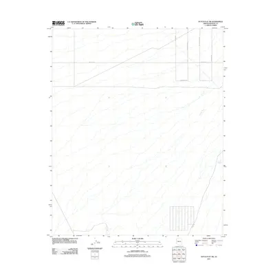
2011 Map of Dutch Flat SW
USGS Topo · Published 2011About this map
Crozier Wash meanders across this Mohave County landscape, illustrating the ephemeral drainage patterns characteristic of the Arizona high desert. This 2011 survey by the U. S. Geological Survey reveals a sparse but deliberate network of rural corridors, many named for local wildlife or historic land use. The presence of Cattle Crossing Rd and Township Tank points toward an economy grounded in ranching and water management. Transportation is defined by a grid of unpaved desert tracks, including Javalina Rd and Diamond Back Rd, which intersect with the more prominent Mesquite Rd. In the eastern section, Gold Mine Rd hints at the region's mineral prospecting history, while Co Hwy 133 provides a more modern arterial connection.
Find a feature on this map
9 named features on this map. Tap any name to fly to it.
Don’t see what you’re looking for? This feature index may not catch every label — zoom into the map to look around manually.
Map Details
Editions of this 2011 Dutch Flat SW Map
This is the sole edition of this map. No revisions or reprints were ever made.
Other maps of this area

1911 · Parker
USGS Topo · 1:125,000

1923 · Signal
USGS Topo · 1:250,000

1927 · Buck Mountains
USGS Topo · 1:62,500

1929 · Buck Mountains
USGS Topo · 1:62,500

1942 · Signal
USGS Topo · 1:250,000

1943 · Giers Basin
USGS Topo · 1:62,500

1950 · Prescott
USGS Topo · 1:250,000

1954 · Needles
USGS Topo · 1:250,000

1954 · Prescott
USGS Topo · 1:250,000

1956 · Needles
USGS Topo · 1:250,000