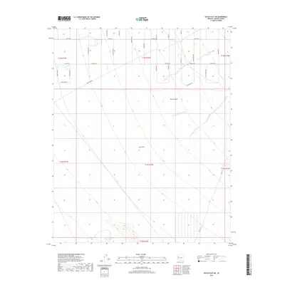
2018 Map of Dutch Flat SW
USGS Topo · Published 2018About this map
Dutch Flat and the surrounding Mojave Desert terrain define this part of Mohave County, where the landscape is marked by ephemeral water sources like Township Tank and Desert Tank. The map reveals a modern road network named after iconic figures and themes of the American West, including Wyatt Earp Rd, Annie Oakley Rd, Tom Mix Rd, and John Wayne Rd. These routes crisscross the arid flats and low rises near Crozier Wash, providing access to remote sections of the township. A local thoroughfare, Co Hwy 133, serves as a primary artery on the eastern side of the survey. The naming conventions of the residential and service roads, such as Gold Mine Rd and Jessie James Rd, suggest a contemporary development era that intentionally leans into the region's cultural heritage and frontier lore.
Find a feature on this map
34 named features on this map. Tap any name to fly to it.
Don’t see what you’re looking for? This feature index may not catch every label — zoom into the map to look around manually.
Map Details
Editions of this 2018 Dutch Flat SW Map
This is the sole edition of this map. No revisions or reprints were ever made.
Other maps of this area

1911 · Parker
USGS Topo · 1:125,000

1923 · Signal
USGS Topo · 1:250,000

1927 · Buck Mountains
USGS Topo · 1:62,500

1929 · Buck Mountains
USGS Topo · 1:62,500

1942 · Signal
USGS Topo · 1:250,000

1943 · Giers Basin
USGS Topo · 1:62,500

1950 · Prescott
USGS Topo · 1:250,000

1954 · Needles
USGS Topo · 1:250,000

1954 · Prescott
USGS Topo · 1:250,000

1956 · Needles
USGS Topo · 1:250,000