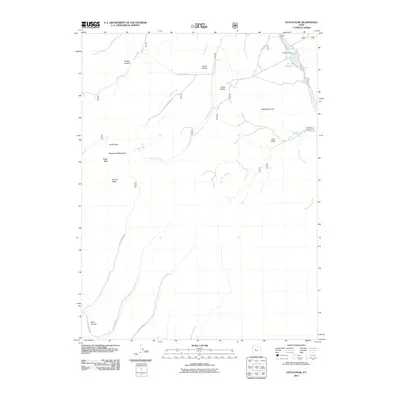
2011 Map of Dutch Peak
USGS Topo · Published 2011About this map
Vernon Reservoir and its associated Vernon Dam anchor the northeast corner of this high-altitude landscape in the Sheeprock Mountains. The terrain is defined by a series of deep drainages and ridges, including Harker Canyon and Greens Ridge, which fall away from the prominent summits of Dutch Peak and Black Peak. This 2011 survey captures the network of forest and access roads that penetrate the mountains, such as Dutch Creek Rd and Pole Canyon Rd, facilitating movement through the canyon systems.
Find a feature on this map
24 named features on this map. Tap any name to fly to it.
Don’t see what you’re looking for? This feature index may not catch every label — zoom into the map to look around manually.
Map Details
Editions of this 2011 Dutch Peak Map
This is the sole edition of this map. No revisions or reprints were ever made.
Other maps of this area

1885 · Sevier Desert
USGS Topo · 1:250,000

1885 · Tooele Valley
USGS Topo · 1:250,000

1953 · Tooele
USGS Topo · 1:250,000

1953 · Delta
USGS Topo · 1:250,000

1955 · Tooele
USGS Topo · 1:250,000

1958 · Delta
USGS Topo · 1:250,000

1962 · Delta
USGS Topo · 1:250,000

1963 · Maple Peak
USGS Topo · 1:24,000
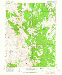
1963 · Sabie Mountain
USGS Topo · 1:24,000

1963 · Dutch Peak
USGS Topo · 1:24,000