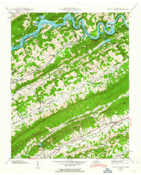
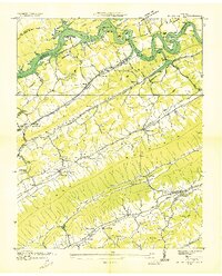
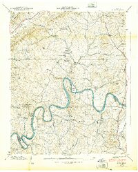
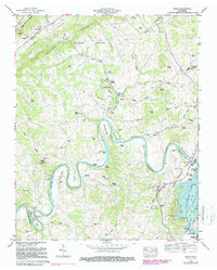
1941 Map of Dutch Valley
USGS Topo · Published 1963This historical map portrays the area of Dutch Valley in 1941, primarily covering Grainger County as well as portions of Claiborne County. Featuring a scale of 1:24000, this map provides a highly detailed snapshot of the terrain, roads, buildings, counties, and historical landmarks in the Dutch Valley region at the time. Published in 1963, it is one of 4 known editions of this map due to revisions or reprints.
Find a feature on this map
78 named features on this map. Tap any name to fly to it.
Don’t see what you’re looking for? This feature index may not catch every label — zoom into the map to look around manually.
Map Details
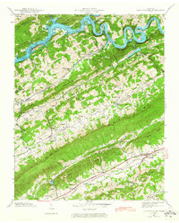
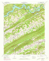
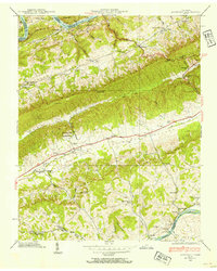
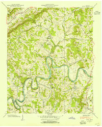
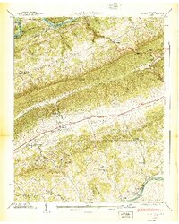
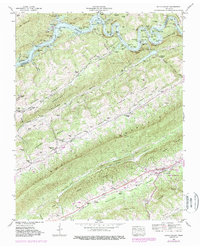
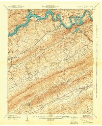
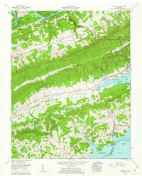
Editions of this 1941 Dutch Valley Map
4 editions found
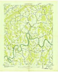
Historical Maps of Elm Springs Through Time
13 maps found

1935 Avondale
Grainger County, TN
1935 Joppa
Grainger County, TN

1935 Tate Springs
Grainger County, TN
1936 Dutch Valley
Grainger County, TN
1938 Avondale
Grainger County, TN
1938 Joppa
Grainger County, TN
1939 Avondale
Grainger County, TN
1939 Joppa
Grainger County, TN
1941 Dutch Valley
Grainger County, TN
1942 Dutch Valley
Grainger County, TN
1960 Avondale
Grainger County, TN
1961 Joppa
Grainger County, TN
1979 Avondale
Grainger County, TN